The high slopes of Mount Washington don’t look so far away from the trailhead at Pinkham Notch — the same way that on some nights it looks like you could reach out and pluck the moon out of the sky.
It’s close, but not that close.
There are over four miles and 4,000 feet of hike between the start-point and the rocky, ice encrusted waste where New England’s tallest mountain tops out.
Ben and I wrangled our gear together in the parking lot. I crammed an old windbreaker into my pack with a puffy parka, secured my jumbo polyester sleeping bag to the outside with a cam strap.
“Do you really think I’ll need a parka?” Ben asked. “This fleece is pretty warm.”
“Trust me. You’ll be glad to have it when we get to camp and stop moving. Your temperature is going to drop.”
The packs were already bulging with the trappings of our hastily-assembled trip. I had got back to Connecticut from my friends’ wedding on the afternoon before the trip, while Ben had worked until midnight on the previous night. We’d made the drive from Connecticut to New Hampshire that day, stopping to pick up groceries and other trip necessities.
“You sure you want to carry that beer up the mountain?” I asked Ben.
“Of course!”
It was the first hiking trip for the two of us since Ben had come out to visit me in Wyoming back in 2012. It was also his first time going up Washington, a hike I recommend for any able-bodied Northeasterner. I’ve been lucky enough to stand on the top of this mountain several times over the years, starting with my first ascent with my dad back when I was seven.
On a good day, it is an easy climb. The trick is finding a good day.
The mountain is notorious for gale winds, snow in the summer months, avalanches in winter and some disorienting fog for good measure. Fortunately, the forecast in the days before our trip called for unseasonably warm weather and relatively mild 50 mph summit winds. I still loaded on the warm clothes and gear, along with plenty of food to keep the internal furnace running. I had no desire for the mountain to catch me off guard.
The sun had already set beneath the cliffs of Boott Spur as we started up the Tuckerman Ravine Trail. We had about two and a half miles uphill to get to the camp at Hermit Lake.
The trail was a rugged course of bare rock and boulders, worn clean of dirt by generations of footsteps along one of the most popular hikes in the Northeast. The Cutler River swirled alongside.
We stopped at an overlook to admire the Crystal Cascade, then continued our climb beneath the fall leaves. A deciduous mix of birch, beech and maple trees began to give away to spruce and balsam fir with altitude.
That, I told Ben, was one of my favorite things about climbing mountains: it only takes a handful of miles to cross into different worlds. The next day, we would ascend past alpine garden and into tundra.
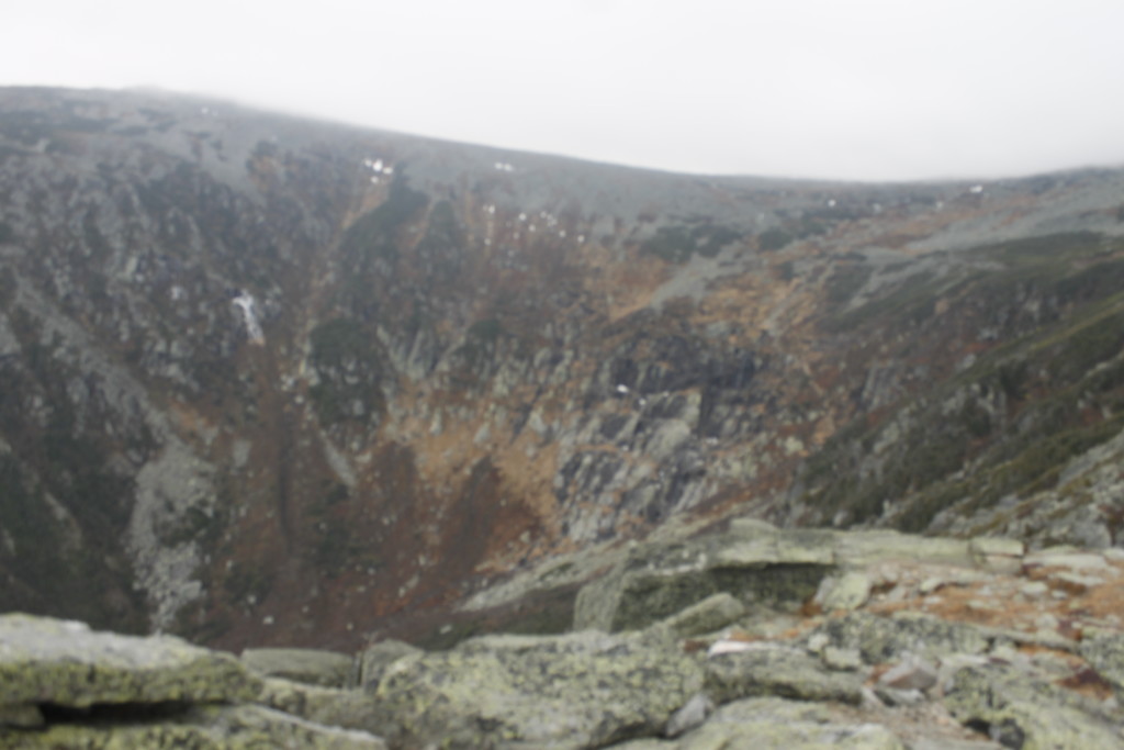
Light was fading as we approached camp. The trees were already shorter and thin here. The dark headwall of Tuckerman Ravine appeared above us, a cross section of a 1,000-foot tall bowl. At either end stand the twin outcrops of Lion Head to the north and Boott Spur to the south. Above us, the tiny points of stars emerged out from dusk.
The Hermit Lake camp takes up the base of the ravine with interspersed tent sites and lean-tos. The place gets hopping in the summer months and again in the winter when the skiers come out to take on one of the most intense slopes in the east. In November, there aren’t so many people. In fact, no one else was staying there that night aside from the caretaker, giving Ben and I first pick of campsites.
We chose one of the few structures that was closed in on all sides. After we set up our mats and sleeping bags on the floor, I started cooking up some lentils and pasta.
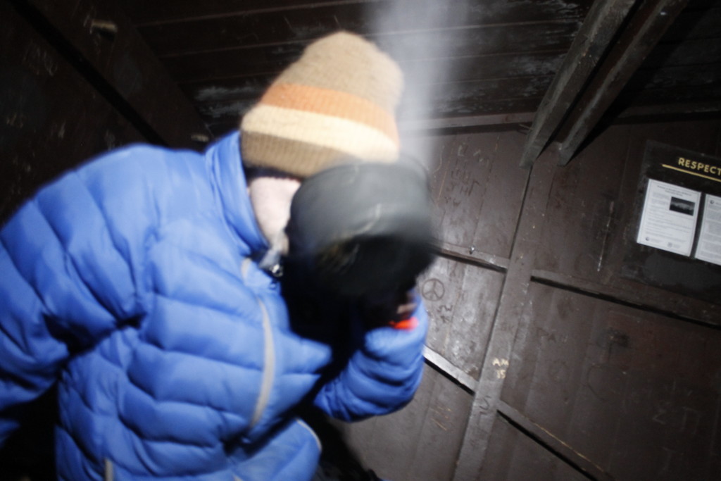
That was when we had our visitation. A small gray form crept out from a gap in the doorway, and scurried over our clothes.
“Hey! Get out of here!”
The mouse looked at me with marginal concern. Then I made like I was going to rush it, and it ran back through the gap. I placed a rock to hold the door tight against the wall, but a moment later the mouse simply crawled through a new gap underneath. It perched on top of Ben’s hiking boot before I waved it away again.
“We’re going to have to hang everything up,” I announced. “It probably wants to chew the leather.”
We made use of the pegs inside the building to hang clothes and shoes. Food went into a bear bin near some outhouses.
Later, we went outside to check out the star show above the ravine. There was only a small breeze where we were standing, but we could hear blasts of wind, roaring through the boulder field atop the headwall. The clear night air revealed the misty trail of the milky way.
Periodically, we would see a shooting star make a brief streak across the sky.
“I wonder if that is happening more than usual tonight, or if we just don’t bother looking up most of the time,” Ben said.
I didn’t know.
Our concerns turned back to earth, where we were getting cold. And then there was the specter of the marauding mouse waiting for us back at the lean to.
Right after I got into my sleeping bag and turned off my headlamp, I heard Ben grunt,
“He crawled right over my face!”
I turned on the headlamp just in time to see the mouse scurry under the door. This time, I took out our trekking poles and extended them to fill the gap. Laughable defense against a critter small enough to crawl through a quarter-sized opening, but it was something.
I went back to sleep with my broad-brimmed hat over my face. At least, if the mouse crawled over me, he wouldn’t fall into my open mouth.
The next morning, we did an oatmeal breakfast and began our hike up through the ravine.
Thin waterfalls sprouted out along the granite cliffs in front of us. Steps of quarried stone made the ascent easier, but the steep climb had us puffing. Added to that, it was freakishly warm for the season, warm enough so that I stripped to shorts and a long-sleeve t-shirt. I’ve experienced colder conditions on the mountain in July.
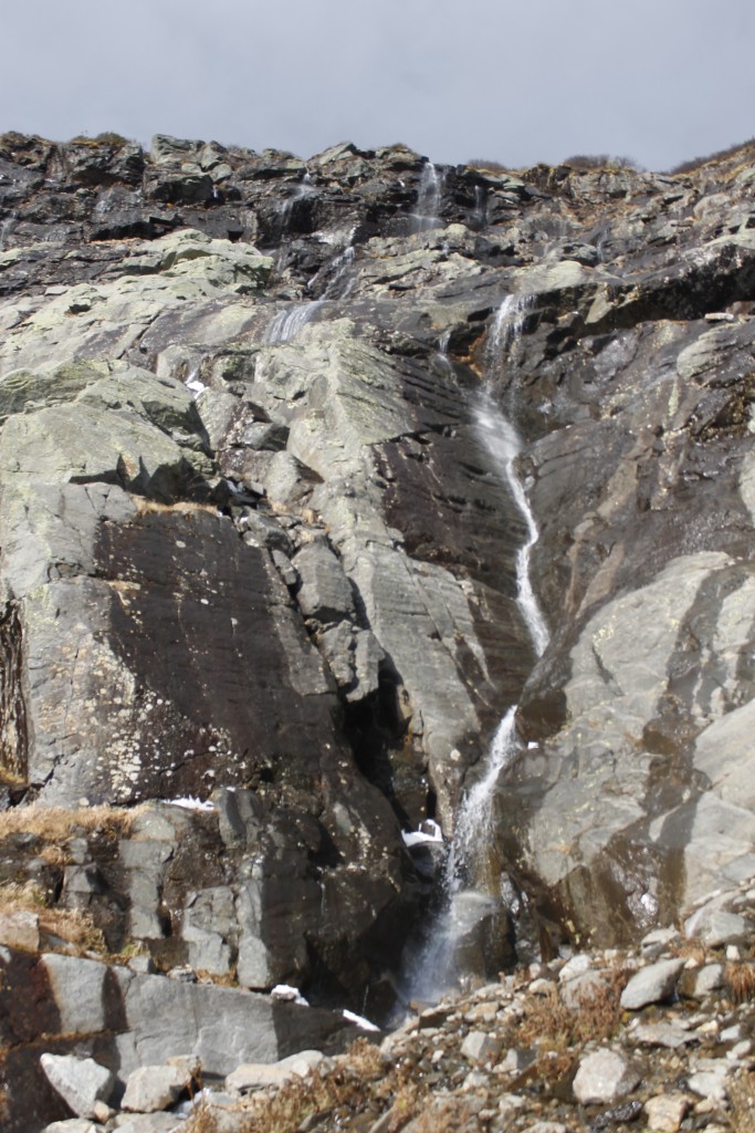
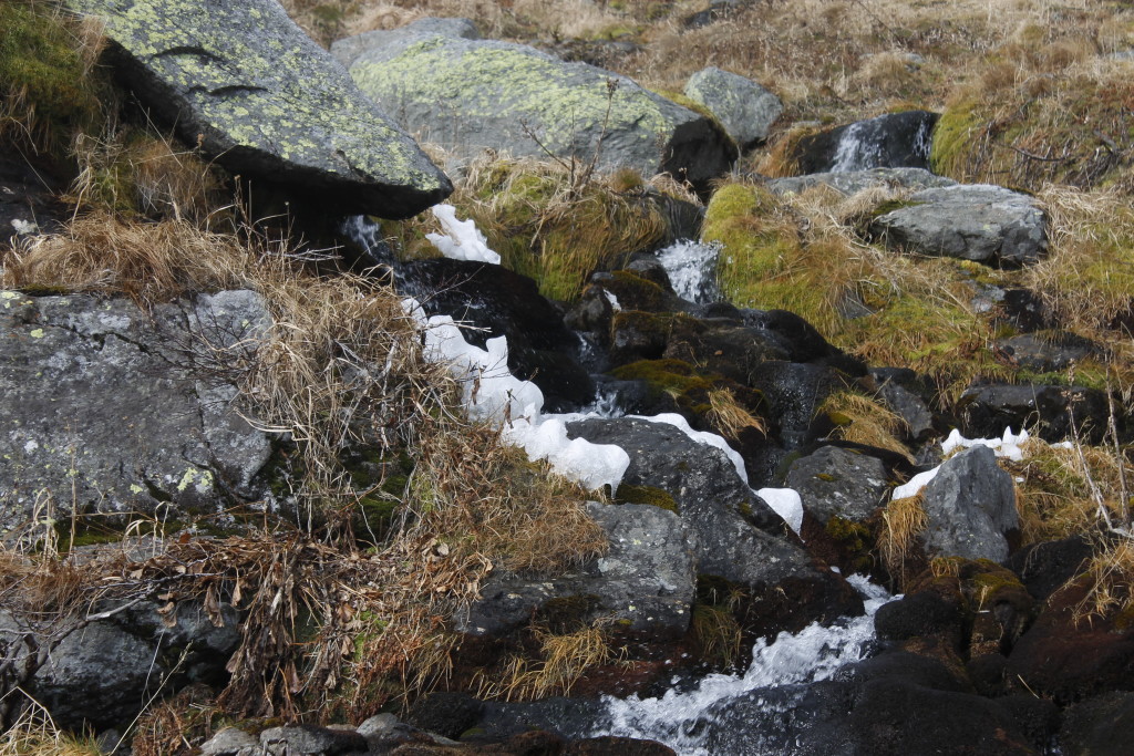
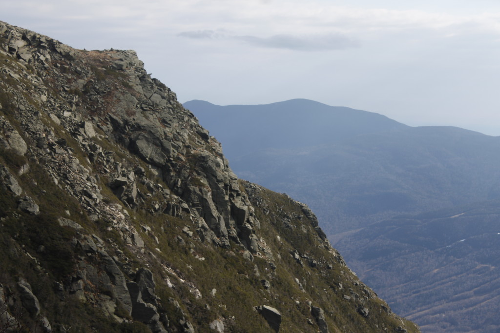
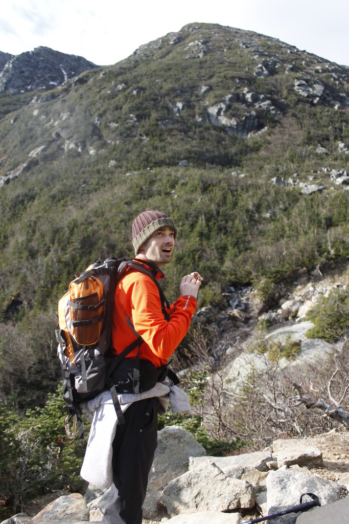
Here and there, patches of snow and ice lurked in the shadows. A small frozen falls clung to the north face of the bowl. There were clouds racing over the headwall, but the cliffs sheltered us from the wind — for now. Scrub trees along the trail, were bowed permanently into awkward shapes from downdrafts.
The air got colder as we got higher. We stopped to re-layer right before we summited the headwall where the wind was blowing. When we got to the top, the temperature must have dropped 15 degrees. Gusts of wind buffeted us periodically, but we were had the semi-shelter of the summit cone. Now there were no trees, just broken boulders with lichen growing over. We had about .8 miles of this terrain to cover before the we got to the weather station that marks the top of Mount Washington.
We began to make our way over the rocks, stopping periodically, to glance over at Lion Head and down to Tuckerman. We wouldn’t be enjoying views for much longer. A dark plane of cloud cut the top of the mountain out of view. Soon, we were engulfed in that swirling mist.
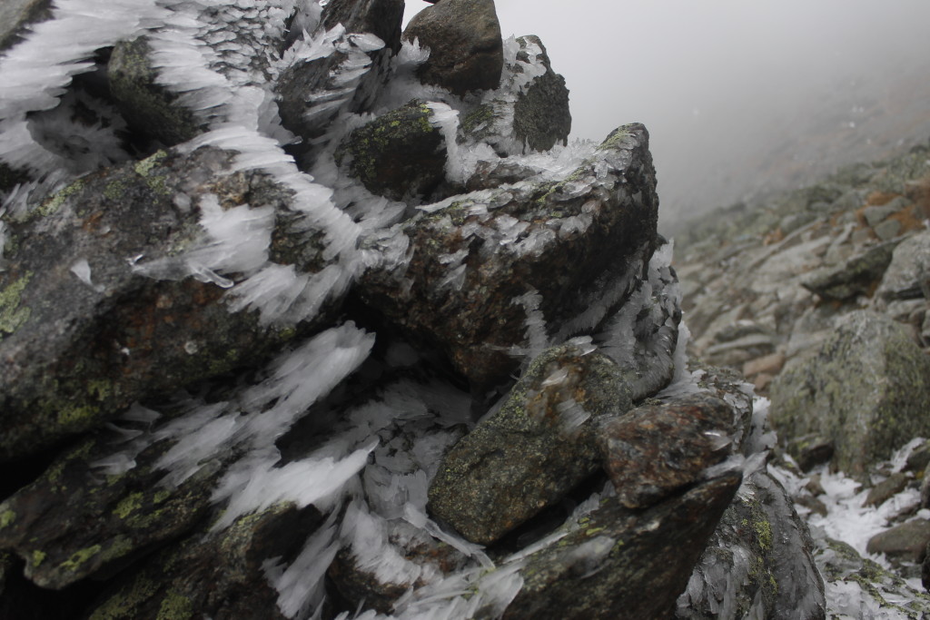
Blast patterns of hoar frost decorated stony outcrops and trail cairns, a spiny mosaic mapping the wind currents and eddies.
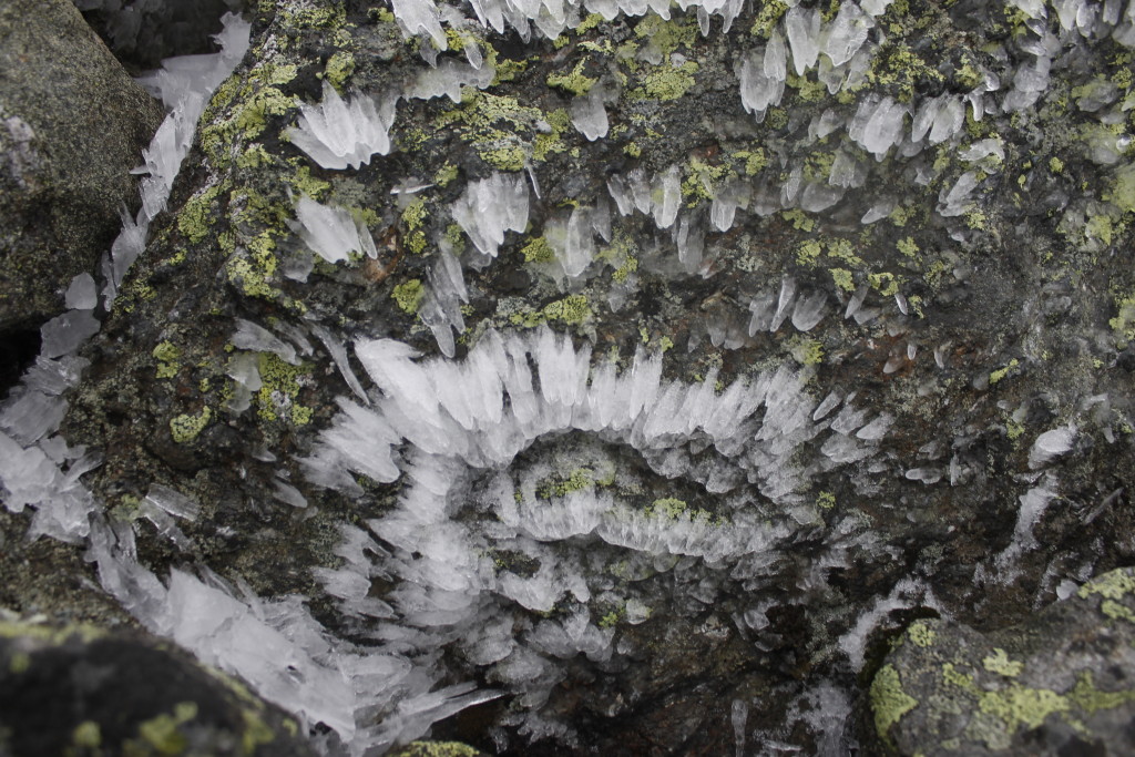
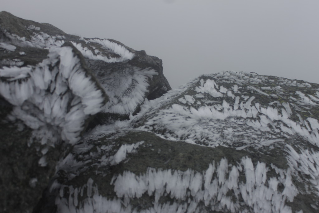
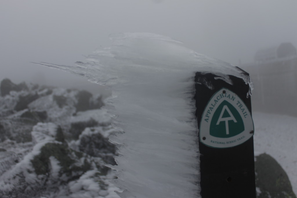
We scrambled up the boulders, using the cairns to follow the trail.
A short ways in front of us, it went over a lip.
“I think I know what that is,” I said.
Sure enough it was the auto road to the summit. We walked along the pavement to the weather station. Here, at the top of the cone, we finally felt the full force of the wind blowing over the mountain. An icy path led to the pile of rocks where there were no higher rocks. A sign marked the summit. We lurched like drunks as the wind shoved us this way and that. We got to the top and slapped high fives through our gloves.
Recorded wind gusts for the day fell in the 50 to 75 mph range — unexceptional for a mountain that once set a world record 231 mph wind speed and had been predicted to gust 130 mph the day earlier.
Whatever speed the winds were blowing, the conditions did not inspire us to linger about the summit. We got our pictures and got off the top. We sought the shelter of one of the weather observatory buildings to layer up into parkas and windbreakers, then started our descent.
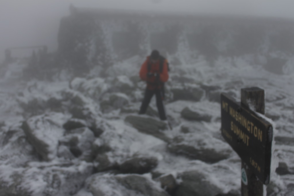
To mix things up, Ben and I opted to take the Lion Head Trail on the descent. This route kept us in the wind a little longer, but it also afforded some excellent views down into Tuckerman. Our quads were feeling it by the time we got down the rocks to Hermit Lake.
Ben was ready to call it a day, but I opted to take a quick run up the steep boulders of the Boott Spur Link to get a different view of Tuckerman and fill my daily masochism quota.
It was near dark when we got back, Ben already had pasta going for dinner. The beer was out, of course, a fine Smuttynose imperial red that did credit to The Granite State.
Our main objective complete, we would have a leisurely hike back to Pinkham Notch the next day.
As an added bonus, the mouse kept his distance that night.
In many ways, Ben and I had been like that troublesome rodent. We’d challenged the giant, and got out of the way before it had the chance to swipe at us.
