Bike Climbing and Snow Sliding: A Doorstep Mount Angeles Expedition

There was the world of the pavement and there was everything else.

Pavement was the Hurricane Ridge Road, an asphalt tendril climbing out from Port Angeles, and penetrating into the Olympic Mountains. was is the accommodation that allowed the river of internal combustion to flow uphill — the shuddering swarms of Harley’s, Subarus, Tahoes and other vehicles to convey their day-trip passengers toward the snow realm up above.

They looked out of windows, and saw the other world: the treacherous stands of stinging nettles and shoots of devil’s club armed with vicious barbs, diaphanous leaves of the big leaf maple shifting iridescent in the sun mist. They were just starting the climb, these visitors. So was I.

I too, grunted and shuddered my up the pavement, and I did it in the lowest gear on my bike. The plan was to notch another entry in the doorstep chronicles with a doorstep ascent of Klahhane Ridge.

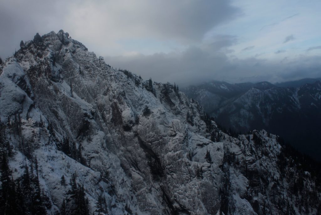
The ridge is 6,000 feet above Port Angeles Harbor. It forms what I think of as the most impressive feature you can see from town. Torturous layers of jagged stone jut up out of the ridge’s west side to create the 6,400 foot summit of Mount Angeles. Snow clings to the shadowed north slope, even in July and August.

I knew I was going to pedal long and hard to get there. I knew my back was going to ache and that I would loathe the traffic going past my bike. The bike ride was the part I wanted to get over with before I traipsed merrily up the trail toward Mount Angeles. I thought of all the cars going by as I kept the bike tires on the narrow margin.

But sometimes you sweat the climb a thousand times before the wheels start turning. As I started up the hill, I found myself in a pleasant frame of mind, enjoying the sun on my face. I let my eyes wander off the road and up the narrow gullies where pearly-white freshets cascaded over moss. Fat orange salmonberries grew in the roadside thickets, though they were not quite ripe enough to eat.

An occasional vehicle did perturb my reverie, but the traffic was far lighter than what I had feared. It had been dumb to spend so much energy climbing the mountain in my mind earlier.

After over an hour of climbing, I had knocked out about five miles, which brought me to the entrance station to Olympic National Park. I found a place in a rumbling line of vehicles, then kicked my bike along with the rest of the traffic inching its way toward the kiosk.

Eighty dollars later, I had a crisp new National Parks Pass in my wallet and was pedaling past thick-trunked Douglas Firs. The investment felt good, especially knowing the threat national parks throughout America face from the current president and others who follow his brand of thug-ignorance.

A vehicle stopped ahead of me so that passengers could click at a doe and her two fawns — the size of puppies with delicate white spots along their flanks. These park deer registered minimal concern about my bicycle or the other traffic along the road. I hoped no one had been feeding them, but the world is rich in well-meaning fools.

The lush understory from the lower elevations dropped away to thinner pine forest, with long views across the valley to Blue Mountain and the snow covered face of the Obstruction Point ridge. Day-trippers wandered from their cars to get in front of the views.

“You must be a glutton for punishment,” one woman called after me as I chugged by with my heavy pack.

“I’m loving it out here,” I called back.

Fifteen miles and 4,000 feet after I left my doorstep, I pulled my bicycle up to the trailhead for the Switchback Trail. I immediately peeled out of my soaked shirt and replaced it. A couple of peanut butter banana wraps were the calories I needed before the hike. Water gushed down the mountain valley, melting off the thick patches of snow higher up the way. A guy plodded down the trail with a pair of skis on his back. A minute later, his daughters caught up with him, also with skis.

“How was it out there?” I asked.

It was skiing for the sake of novelty at this point, the man admitted. They had found mushy snow that tended to cave in near rock outcrops. The biggest worry was the fog, which was still wrapped around the mountains higher up. There were no regrets about getting up there though.

The beginning of the Switchback Trail was a muddy line zigging up between stands of Alaska yellow cedar and mountain meadow. Tiny alpine flowers were coming into bloom. Groups of black-tailed deer meandered lazily through their forage, with velvet on their antlers.

I encountered snow gradually, then all at once. A few patches over the trail, became large swaths where other hikers had kicked steps in for traction. No need for me to get the crampons out yet. I did use an ice axe to cut up a couple of switchbacks on the snow.

Typically, cutting switchbacks is a hiking sin, because it tramps out vegetation and can cause erosion. In this case, the snow absorbed the impact of my waffle stomping feet and I could proceed guiltless.

Still, the axe and crampons proved to be overkill for the expedition, where the majority of the climb was snow free.

By the time I reached the crest of Klahhane Ridge, the clouds had closed in thoroughly. This was my turnaround goal, Climbing to 6,000 feet from my home at 300 feet above sea level wasn’t such a bad day. Yet, I knew I could go further. Last year, I had taken a little used side trail up to one of the peaks of Mount Angeles. The tallest peak (which I’d also climbed last year) would be out of reach from this approach, but I would still be at almost the same height of 6,400.

The ridge divided the mostly snow-free area where I hiked, from an entirely different world on the north face. Here, in the shadows, I could peer over a 45 degree slope, where a chest-deep slab of winter snow held onto the rock. Peering down, the white snow blended seamless into the nothingness of the cloud layers. It was impossible to tell where one ended and the other began. The depthless white concealed danger as well as or better than darkness would. I understood why the skiers had been freaked out.

Still…what a ride it would be. All I had to do is hop over the edge, and start sliding on my butt. I’d gather speed — tremendous speed — as I flew into that great white unknown with the ice axe as my only brake. It was a thought that was as terrifying as it was appealing. I thought of Herman Melville who wrote a whole chapter in Moby Dick regarding the terror of white:

“…there yet lurks an elusive something in the innermost idea of this hue, which strikes more of panic to the soul than that redness which affrights in blood.”

The rock scree on the south side of the mountain was enough excitement for the blood right then. The slope looked like a cake turned on its side, with various shales, sandstones and basalts that were bastard children of volcanism and ocean floor upheaval. The rock was pulverized into bits and pieces. I kicked my boots in for purchase in pencil shards of shale.

The basalt was more solid, but still dicey. I test wiggled every hand hold before I put weight on it. Often I would find a toaster-sized rock, just waiting to tumble down slope. When I had the chance, I used my axe to “dry tool” out holds in the rock above me. There were even a couple of snow slopes, that I used the axe for, though I didn’t bother putting the crampons on. Carrying them up 6,000 feet of mountain was just my way of making sure I got the proper dose of exercise that day.

Eventually, the rock got more technical — as in technically, it was class IV climbing if that sounds impressive. I ditched the backpack, and scrambled my way up the last section to a lookout slab.

The clouds hid plenty, but I also saw a good amount of the June snow slopes to my north. The concealing nature of the fog made the jagged landscape more mysterious and menacing. I grinned in the wind for a couple minutes, then started down.

Descending the scree was predictably unpleasant. I placed little trust in any one footfall. Still, I got a little fun out of glissading down a couple snow slopes. I got a little too ebullient on one of these jaunts, and missed my chance to sink my axe in before the snow went out. The result was a bit like coming to the end of a waterslide to find that someone had replaced the pool with a gravel pit.

I emerged slightly battered and slightly humbled, to hike the rest of the way down the Switchback Trail (and glissade a few more snow slopes.) Though I had hauled heavy snow pants up this far, I didn’t bother putting them on. Instead, I worked on a new glissade technique, sliding backwards on my hands and feet with the axe twisted sideways. When it was time to hit the brakes, I turned the axe into the snow. The method worked OK, for the short sections that I had to deal with, though my hands were thoroughly chilled in their thin gloves.

Near the bottom of the trail, I took a moment to sit on a boulder, while clouds parted and mountains strobed in and out of the early evening light. I let myself breathe in satisfaction. These are moments that reaffirm that adventures, even day trips, have unfathomable worth to me. More and more, I have begun to believe in the Doorstep Adventure and I want to take more of them. If I cannot be in the places I love most, without putting money in the pockets of the people that destroy them, perhaps I don’t deserve to be there.

And it is important to find an equal measure of joy to the hardship that comes with getting into wild places without an automobile. Otherwise, why the hell did you bother coming out?

If you drive up to Hurricane Ridge and have a crappy time, you wasted a couple hours and a few dollars’ worth of gas. No biggie. Hey, let’s catch a movie sequel at the theater.

If you bike, hike or run from sea level, you better enjoy yourself out there, or else you just squandered a day’s worth of time and effort. So you have a good time.

The bike ride up had been fun for sure. The ride down was a complete blast:  14 miles of (almost) unadulterated descent. I leaned my way past curves and through mountain tunnels, white knuckling it with fingers on the brakes. I used the brakes as little as possible.
The Doorstep Deer Park Adventure: Mountain Biking and Skiing into The Olympic Mountains

Midnight.

A chirping chorus of Pacific tree frogs  rose up out of the soggy canyon creek near my apartment. A fine rain misted down out of the dark sky as I went to wrangle my new mountain bike out from behind the building and start spinning down the dismal streets on the first part of a journey that would take me to the snow line and then continue on skies to over a mile above sea level.

Yes it was a fun business, this doorstep adventuring.

Throw out that easy luxury of driving the first 15 miles and 2,000 feet of elevation. Swap out the gasoline you would have burned for some blood sweat and tears. Work starts at 1:30 p.m. that afternoon. Make sure to be back with enough time to gulp down lunch and rinse off your grimy self into an approximation of presentability.

These are some of the challenges and compromises you’ll face when you get sick of oil companies profiting off of your desire to experience mountains and have adventure. Such challenges only increase when you are responsible enough to have a job.

If you are willing to accept the terms of an adventure under the above constraints, you too might find yourself doing very strange things that other people might have a hard time understanding. I’ve gotten better at ignoring weird looks while pedaling through town with skis on my back.

I had already taken one day off to do the journey, but when the day rolled around, I found myself sick as a dog and stayed home instead. I was unwilling to spend another vacation day, and decided it made sense to pull a night shift to reach my ultimate goal: a doorstep adventure from sea level to the top of 6,000-foot Blue Mountain in Olympic National Park, about 24 miles away.

My apartment is a couple hundred feet above the water. I flew down the empty streets at top speed, tire treads whirring on the slick pavement. The road lit up in pools of green from traffic lights and the deep halogen orange of the street lamps. The lights from Victoria, British Columbia lit up an angry blotch of clouds across the Strait to the north.

I left the roads for the Olympic Discovery Trail, a former railroad, now paved over on a route that follows the coast. Wind on my face peeled away some of the cobwebs of sleep deprivation. I turned the pedals over faster. There was the smell of seaweed and the gentle lap of waves from Port Angeles Harbor.

A couple miles went by and my mind went into the rhythm of the pedaling. I barely paid attention to the pale form lying across the path. Wait, something wasn’t right.

I squinted ahead and saw that the whole path was blocked. I hit the brakes. A giant birch tree had toppled down the mud cliff above the trail in a minor landslide. Several trunks lay in a shattered tangle, towering well over my head, and creating several yards’ worth of obstacles. Between the cliff on one side and the sea on the other, there was no way past except through. Finding a new route would have meant backtracking a couple of miles, which had no appeal. I got out and worked my bike over and under the trunks and through the branches.

The obstacles meant lost time, but I felt strong when I hit the pedals again. I wheeled over an old railroad trestle above Morse Creek, which ran strong from the rains and from the melting snows in the high peaks.

This was where the climb would begin. Though my temperature was comfortable, I peeled off all my layers and put my wind shell on over my bare skin. I gasped at the freezing, clammy sensation. The sudden cold was an incentive to bike hard.

I pumped my legs as the bike path climbed up a steep incline beside Highway 101 where an occasional car would whirr by. Then I turned beneath an overpass and pedaled past a movie theater parking lot onto Deer Park Road.

A Park Service sign flashed in my headlamp beam. It was 17 miles to the summit of Blue Mountain. The first section of that journey involved nine miles of road and 2,000 feet of climbing to get to the Olympic National Park entrance. I’d biked out a week earlier and stashed my skis and boots in the woods there. Hopefully, they’d still be in their place.

I climbed past suburban houses and farmland in the dark. One or two cars went past, briefly blinding me with their headlights, before proceeding on their lonely journeys. A shaggy pair of dogs howled at me and chased me along their fence.

Within a couple of miles, my headlamp picked up the ghost reflection of snow on the ground. My calves were starting to feel the burn from the climb, and I was saddle sore from the bike seat.

At four miles, the road narrowed and steepened. Houses gave way to massive-trunked Douglas fir and cedar trees. Large sections of pavement were snow-covered, making me grateful for the mountain bike’s tough tire treads and low gears.

Pedaling past a clear cut, I could look down to the distant lights of Port Angeles and across the Strait to Victoria. I was climbing out of the coastlands, into the mountain kingdom where there were no lights, where the road before me was one of the only indications that humans had travelled here at all.

Wooded slopes rose up on either side, with snowy mountain peaks laying to the south, their forbidding edifices barely discernible from the cloud cover.

It was just after 3 a.m. when I came to the metal gate delineating the National Park boundary. No cars could go beyond this point until the snow melt.

Back in the 1930s, there had been a ski area at the top of the road. Intrepid drivers could brave the switchbacks to get to the small ski area at the top, which used rope tows.

The resort closed a long time ago. Now the only ski area in the Olympic Mountains with groomed slopes is the Hurricane Ridge area, which is just across the valley.

The road was no longer a way to get to skiing. The road itself was for skiing.

The snow here was a couple inches deep. I tried pathetically to keep pedaling through it, but eventually, even the thick mountain bike tires faltered. I set the bike down in a gully and jogged another quarter mile to the bend in the road where I’d stashed my skis and boots.

I kicked around in the crusty snow behind a tree stump before I found the gear. I threw it out onto the road.

Next, I put on a fleece and parka. I had just climbed 2,000 feet, and knew that my core temperature would likely take a nose dive as soon as I stopped. I unscrewed my thermos for a few swigs of lukewarm coffee and gobbled horse-choking quantities of granola for energy. Thanks to Mom for sending your son the best homemade trail food anyone could ask for.

I stuck some climbing skins on the bottom of my skis, put on several pairs of socks so I would fit into my oversized telemark boots. Then, I had to mess with my bindings, which had a nasty habit of popping off the skis before I got the boots in. All the dressing, eating, and gear fussing cost me about 40 minutes. It was frustrating losing all this time, but I still felt like I had at least a 50-50 chance of getting to the top of Blue Mountain before I needed to turn around.

The lower elevation snow was icy, and the skis moved quickly over it. Some previous skiers had left tracks, which made progress even faster.

When I switched off my headlamp, I could still make out the vague imprints in the snow. The gathering green light in the sky hinted at the coming dawn.

Switchback after switchback, the birches and the salal shrubbery faded away and scraggly spruces began to take their place.

After an hour or so of climbing, I could see the whole of Blue Mountain in front of me. Evergreens darkened most of its slopes, but there was a crown of white along the top. A thin diagonal line below the summit marked the road before me and the miles yet to ski.

I focused on moving quickly by lifting my skis high and getting as much glide as possible along the skins.

Still, lifting the heavy-duty telemark boards with their plastic boots made me wistful for my lighter pair of backcountry nordic skis, which would have given me better slide and glide, and still had tough enough bindings to take on the moderate grade on the descent. Too bad I had toasted those bindings on a not-so-moderate descent once upon a time.

Eventually, the slope began to steepen. Dull morning light revealed the mountain kingdom all around, with the tall white fin of Klahhane Ridge rising up to the west, falling down to path of the Hurricane Ridge Road. Obstruction Peak and Gray Wolf Ridge rose out of the South. What a slog it had been to get to this point! Yet, that feeling of awe amidst the grand mountains felt all the more meaningful because of it.

Just as the snow began to deepen and become more powdery, the ski tracks I’d been using disappeared. The uphill climb had just gotten harder.

Despite the setback, I was proud to be the trailblazer and to have come the furthest. Who knew when the last person to come through here might have been?

It was getting close to my eight o’clock turn around time, but I decided I could afford another half hour. I came upon the Obstruction Point trailhead, along with a sign pointing to the Deer Park campground. When I skied into the campground, I saw the summit of Blue Mountain about a mile away and just over 500 feet overhead. I knew I had the energy to get there, but I didn’t have the time. Reaching the campground had put me at 5,400 feet starting from sea level, and that didn’t feel too bad.

I took a quick stop to peel the skins off and eat a couple vegan magic bars (also from Mom.) I layered up, and started down the slope.

The skis moved slowly at first, but there were a couple steeper sections that made me hoot and holler. I dropped into telemark stance once or twice so I could whip around a corner.

Though the slope got more gradual as I lost elevation, the snow became icier too, and I was able to start skate skiing with my boards, maintaining high speed and getting a good workout also.

I swung by my staging area from earlier to pick up the boots that I’d pedaled up in, then skied the rest of the way down to the mountain bike.

Here is where I got kind of stupid, and decided to ski the rest of the way down to the road with the boots and mountain bike in my arms. Mistake.

I didn’t realize that the pavement was less then an inch beneath the snow until I came to a very sudden stop. Of course I fell on my bike. Of course it landed gear-side down, just like toast always falls down on the jelly side.

My hands were now skinned nicely from my stupidity attack, but worse was the fact that the bike derailleur was rubbing into the spokes of the rear wheel. I gently attempted to bend it away, but it just flopped right back into place.

Now how the hell would I get to work on time?

A man in a truck went by to ask if I needed help. Quite possibly, I thought.

In fact, the truck might have been my last chance to get a lift out of there. Back home safe; doorstep adventure over.

I waved off the driver. I spent some time with the bike flipped over, figuring out what to do. I realized that I could get the derailleur off the spokes by staying in low gear. That was no problem, considering that the next nine miles would be downhill. The brakes were still working fine, and that was most important.

I loaded the skis on my pack along with my hiking boots. I kept the heavy telemark boots on my feet.

The ride down the hill went without incident, though I had to go slower than I’d wanted.

When I got back on the bike path, I messed with the gears some more and found a setting that allowed me to bike in a higher gear without ruining the spokes. All of the morning walkers on the bike path avoided my gaze, figuring that it was probably better not to make eye-contact with the bicycle lunatic with a massive backpack, plastic boots and skis. My watch told me there would be enough time to get home, shower off and get to work — barely.

The fallen tree was still waiting for me on the path.

This time, I looked for a path up the hillside on the other side, and kicked and crawled over the slippery mud, contorting myself to avoid catching the skis on obstacles. I slid through a patch of briars down to the pavement, and went back to take my bike through the same torturous obstacle course.

The whole process was impractical, dirty, and not what most people would define as fun. In short, it was the perfect way to end a doorstep adventure.

Tarp Tenting in Goat Country

_mg_1172
Tarp Camp at a foundation in Heather Park

I have this fantasy that one day I will become a Master of Gear.

The Master Of Gear knows exactly what to bring on any given trip, can effortlessly summon shelter, fire, warmth and dryness against the hostile elements. He or she can produce a cup of hot tea to warm your numb fingers, deflect windblown snow with a handy tarp, will always have an extra dry pair of socks, puts on a waterproof layer before the rain starts, wears exactly the right amount of clothes, is never cold, never sweats and has a pack that is much lighter than yours. Nothing is unnecessary.

You will look at your too heavy tent, ripped sleeping bag, the rag-tag assortment of bent stakes and garbage bags, remember that the gloves you need are in the bottom of your pack and feel like the amateur you are. Why do you even try? You’ll never get it right.

And yet I keep striving to get better and to become more fluent in the little tricks and beats that make up the rhythm of hiking, especially if I happen to be traveling with a significant other, especially if I’d talked big game earlier.

When Lauren had said she was looking to buy a tent for herself, I told her that she might save money and weight by choosing a lightweight tarp instead.

“They are better than tents in some ways,” I remember saying with conviction. “You can cook inside them without poisoning yourself with carbon monoxide, the ventilation will reduce the amount of moisture inside.”

I went on about how a cheap lightweight bivy sack could provide wind protection to the sleeping bag, how I had a friend who’d hiked the Appalachian Trail under a tarp, how explorers had even used them for winter camping.

Lauren was skeptical. Then she saw a tarp that weighed just over a pound going for $24 online. She went for it.

Not one to step down from a challenge, I suggested that we try it out on a November camping trip in the Olympic Mountains.

That is how we ended up hiking up along the Heather Park Trail on our way to a 5,300-foot campsite.

If I am not yet Master of Gear, I try to at least become Moderately Capable Guy.

As such, I have a couple of OK tricks in the bag. such as keeping a small piece of insulated mat at the outside of my pack. This enabled us to take a quick sit-down break on the side of the trail without getting our butts wet or cold. I’ve also taken to hiking with food and water in my jacket pockets to make it easier to access the basics when needed. Some “extras” that I brought along included crampons, if I wanted to mess around on hard-packed slopes up higher, an ice axe and a ski pole with ice axe attachment.

A quick sip of water was in order after a couple of hours (and 2,000 feet) of climbing up the trail. The lush environment that we had started in had given way to thinner trees, with many fallen trunks strewn about the mountain side. A fine dusting of snow was on the ground, a cold bite was in the air.

An opening in the trees led to a ledge, where Lauren and I could step out and look at Port Angeles Harbor, where gigantic cargo ships at anchor looked like rectangular islands. To the west, I traced the land to Protection Island and near the harbor of Port Townsend.

A mere 15 miles (give or take) out I saw Vancouver Island, Canada. Though I can see the island on any clear day from Port Angeles, it usually looks like a two-dimensional strip of hills and mountains. From on high, I could see beyond Victoria into the heartland of the enormous chunk of land (the largest island in the eastern Pacific) to the intricate passages off its eastern coast and over to vast inland lakes.

Our break went before another mile of steep hiking where the powdered snow got a couple inches deep. Later, we came to a stream and an abandoned foundation for a hiker hotel. The builders  had abandoned their project long ago, but left a footprint for two weary travelers to set up tarp.

I let Lauren get water for our dinner while I bravely took on the challenge of putting up our shelter.

The tarp to tent substitution is something that I have tried at different times over the years, with varying degrees of success.  I went for a walk down memory lane through some of my older blogs and concluded that something usually sucks about every tarp I’ve built. Here’s how I describe one night in the Black Hills four years ago:

Now that I had some tiny cocoon of body heat, I was damn reluctant to get up and fool around in the rain trying to adjust my demented shelter while getting everything soaked in the process. Instead, I forced myself into the fetal position, trying to think happy thoughts and reflect on all that valuable wilderness experience that I was getting.

And now I was subjecting my girlfriend to this?

But, hey, the tarp shelter that I’d built back in July had worked out decently enough. The shelter of the foundation gave me confidence too.

First, I kicked away the snow from the place where we would be sleeping, and swept it clear with a pine bough.

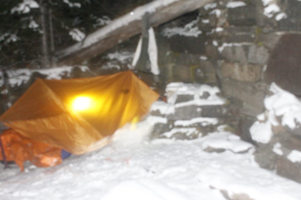
I tied one end of a rope to a tree branch where the foundation walls formed a corner and tied the other end to the head of my ice axe, which I sank into the dirt further away. This place, I was sure, would provide plenty of protection. I placed the tarp over the rope and secured the corners down with stake. I secured other corners down with two other tree branches and a piece of metal within a fireplace. I hauled off on knots so that I could make everything tight as possible.
Lauren came back to see a hodgepodge of ropes and knots, me still fiddling to get stakes in the semi-frozen ground.

“This is taking forever. Maybe we should have just brought a tent.”

“Nonsense. This is under control. I’m just a little rusty at tarp set up. It takes awhile.”

Eventually, I had everything into a crude, but workable shelter for us to  put our pads and sleeping bags. Next, we folded our sleeping bags into lightweight, reflective bivy sacks that would hold in heat and shield us from the elements. Lauren’s feet were cold, so I took a moment to warm them on my belly, and then she got herself settled into her bag. I knew that if we were low on calories, it would be harder for both of us to maintain core temperature. A hot dinner was an obvious priority.

I took a bathroom break shortly before dinner, making sure to move a good distance away from the shelter. The last thing I wanted was the scent of urine drawing unwelcome visitors: mountain goats.

Hunters in the early 20th century saw the bold crags of the Olympic Mountains, the green blue waters of glacial lakes and gushing rivers and thought, “What this place really needs are some new large animals for us to shoot.”

Never mind that the fragile ecosystems in the Olympic Mountains developed without the large disruptive herbivores foraging the vegetation, and beating paths through the brush. The Cascade Mountains, not far away, did have mountain goats and it was easy enough to truck them over. The relocated goats did find the new environment to their liking. Unfortunately, for the hunters, their dreams of open goat season went off the table once the Olympics became national park in 1938. The shaggy beasts were left to stalk over the rocks and ridges to forage on the alpine plants and thrive in their new environment.

Even if these goats were bad for the mountains, I can’t deny that I would have loved to have seen some of these majestic creatures in their element. I’ve always admired their ability to leap gracefully along the sides of sheer cliffs. The sure-hoofedness of the animals would have been a spectacle to  behold — though hopefully from a distance.

Goats are known to have a territorial streak. They can get stand-offish. Since they also can weigh hundreds of pounds and have large pointy horns on their heads, this can be dangerous. The one recorded animal fatality in Olympic National Park was the result of a goat charge near Hurricane Ridge.

It would seem logical for humans exploring the Olympics to try to avoid goat encounters, but unfortunately, human activities will attract goats. They seek out human sweat and urine because of its salt content. The Park Service encourages people to pee away from trails so that the goats don’t hang out there.

I had a ranger tell me the troubles of one unfortunate hiker who had set his sweaty shirt down in goat country. He must have walked away or else have been pretty unobservant, because a goat gobbled it up. Bummer.

Later, the goat decided the shirt wasn’t its style and regurgitated it back up. That was “lucky” for the hiker, who only had only brought one shirt into the cold, mountainous area. He put it back on and wore his newly-moistened garb the rest of the hike out.

For those of us unlucky enough to have a close goat encounter, the rangers have advised yelling and throwing rocks.

The advice changes during mating season, to “Stay out of the goats’ way,” — according to the same ranger who told me about the shirt-eating incident.

This time of year is mating season, which means that any yelling or posturing at goats would probably threaten the manhood of the males — kind of like calling the biggest guy in the biker bar a pansy in front of his friends —  with predictable, violent consequences. Better to move aside and act non-threatening.

As early as the summer, the Park Service still hadn’t have a definitive plan as to what to do with the goats inside the park. They are a popular sight for tourists and a majestic creature to boot. It just happens that they are in the wrong place, through no fault of their own.

One proposal is a relocation program that involves tranquilizing goats and trucking them back to the Cascades. Goats that evade capture will then face bullets from human hunters who will finally get to do what the people who brought the goats to the mountains had wanted to do in the first place.*

The fact that there may not be goats in the Olympics someday soon only made me want to see a goat even more. Again, I should reemphasize that I only want to see this goat on my own terms. A pee-seeking goat stomping around the campsite was not what I had in mind.

I put aside goat thoughts and went back to food.

The chef’s special of the evening included split pea soup made from dehydrated flakes I’d brought from a natural food store earlier.

Lauren got my stove running from her sleeping bag and we got water up to boil. The flakes cooked in no time and soon we had a meal that could put some warmth back in our guts . The fact that we could cook this meal from inside our shelter was a definite plus. If we had been tent-camping, I would have set the stove outside in the raw elements so as not to burn the tent down or kill us with carbon monoxide. Score for the tarp tent!

The stove added warmth and a little moisture to our small shelter. Little beads formed on the inside of the tarp that would surely freeze later.

Spanish rice followed the pea soup. I added a tube of tomato paste for additional flavor. The heat was great for us, but Lauren’s feet were getting cold again.

I saw the obvious solution in an empty peanut jar I’d brought along. It could make a great hot water bottle. I boiled another pot of water and poured it in. While I had done this before with Nalgene bottles and aluminum, the heat of boiling water was too much for the thin plastic canister and it melted the top of the jar, rendering the screw top completely useless.

I cursed mightily at the spilled water and at myself. Why did I have to fill the jar to the very top? Why did I have to put completely boiling water in there?

The spill had moved toward Lauren’s sleeping area, but we were able to swipe it away before it did real harm. It had left a salty residue that goats might be interested in. I was bummed that I wasn’t able to help with Lauren’s feet. The whole thing felt like a bad omen for the oncoming night.

I gathered the remains of dinner back in the bear can and walked it up the trail to where it would be away from our tent. I took one last pee before I went back to the tent area. I had no interest in leaving my sleeping bag until morning.

Night time in a sleeping bag is the perfect time to wander into that half-sleep of speculation. Is that noise the wind jostling the branches, or is it a massive horned animal stalking the woods for urine deposits? Maybe the strange slits of its pupils were glowing red with malicious inner light.

And, hey, maybe it wants to kill you.

It is not difficult to imagine bad intentions from the beast with cloven hooves.

“Did you hear something?” Lauren asked.

“Hmmm. It probably wasn’t anything.” I said. I moved my ski pole with the ice axe closer to my sleeping bag.

I drifted back toward almost sleep until I heard a scuff, or maybe it was a sneeze.

Lauren: “What was that?”

I peeked over the flapping tarp, saw nothing in the darkness.

“Not sure,” I said.

The demons were toying with us, no doubt.

Sometimes music is the best remedy in times of stress, and I channeled the Rolling Stones.

“Wiiyiilld mountain goats …. couldn’t butt me to death.”

But maybe it was the wind that was going to do us in. Katabatic winds are common in the mountains, especially around coastal ranges like the Olympics. What happens is the warm air that rose to the higher elevations in the day time, begins to condense on the cold mountainside come nightfall. Then that colder, denser air begins falling down the mountains, producing intense wind gusts.

Not long after I got into my bag, a sigh went through the trees, and then the tarp began flapping around like the dickens. The moisture from our cooking and our breath now formed a frosty layer that the wind beat away like dust out of a carpet. Each gust of wind brought a little sprinkle of this icy stuff down onto our faces. Then the wind would stop or I’d here it blowing on some other part of the mountain, I would start to feel myself drifting back toward sleep and the wind would come back. It always came back.

I pictured the wind twisting effortlessly over the rock wall and swiping its cold fury over us. I cursed myself for not putting the tent right up into the corner. Right now, the wall was accomplishing next to nothing.

Plus, the knots that I had used to lash the tarp tightly together were coming loose, and the structure flapped nastily. Reviewing the flaws in my structure, made me feel like no Master of Gear, but perhaps the Master’s dull student who hadn’t done his homework.

“You should lower the front, so the wind doesn’t get in so much,” Lauren said.

The idea made sense, although, I had to get half out of my sleeping bag to make it work. I reluctantly untied the guy-lines from the fixed objects in the front and staked them into the ground. This did lower the wind profile of the tarp and it felt better inside. I clipped my pack into the center line also to make the shelter less apt to billow upward when the wind filled it. It also provided a partial wind barrier. Snowflakes were drifting into the shelter now.

I figured I’d done the best I could and rolled back over into my sleeping bag.

Sleep might have come then, but a few minutes later, the wind seemed to get much worse and the flapping louder.

“A tent stake came up!” Lauren announced. I could look up and see stars in the night sky. I cursed some more and got up to drive the stake back into the ground and reinforced it with a second stake in the same place. A while later, a different stake came up, and I had to reinforce that one too.

“Should we go back down the mountain?” Lauren asked.

I thought about getting out of the sleeping bag to reorganize everything for a trip out into that icy wind. I felt no great excitement at the prospect.

_mg_1177
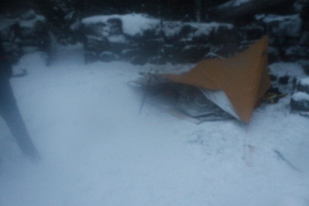
This was the best shot of the tarp I could manage through my fogged lens that morning The night winds had been unkind to our shelter.

At least our bivy sacks gave us a greater level of protection than what we would have encountered in our sleeping bags alone. If a little snow got on us, it wouldn’t melt into our insulation.

Still, we were both getting plenty cold. It was about 4 a.m. now and my hope was that the sunrise would give us some renewed vigor. The path of least resistance, staying in place, felt like the way to go.

By some miracle, the rest of the stakes held through the night.

We stumbled out of our bags to fetch the bear can and to fill up water for breakfast.

Sure enough the warm food and hot coffee put life back into us. Better yet, there was light coming in through the clouds and a little warmth to go with it.

We dismantled shelter, packed our gear and headed up the trail.

Initially, Lauren had voted we go right back down to the car, but the promising weather had changed her mind. The scenery around Heather Park includes views of the jagged peaks around First Top and Second Top.

_mg_1213
Lauren climbing on ridge near Heather Park

We wore gaiters to keep snow out of our boots, and Lauren had a pair of micro-spikes to improve her grip on the snow. My crampons stayed in the pack. For the moment, they were too heavy-duty for what we were dealing with.

The trail wound up a series of switch backs until we got to a ridge where we could look out toward the Mount Angeles ridge and Hurricane Hill. I could make out the pale, blue line of Lake Crescent. It looked like another beautiful day down there.

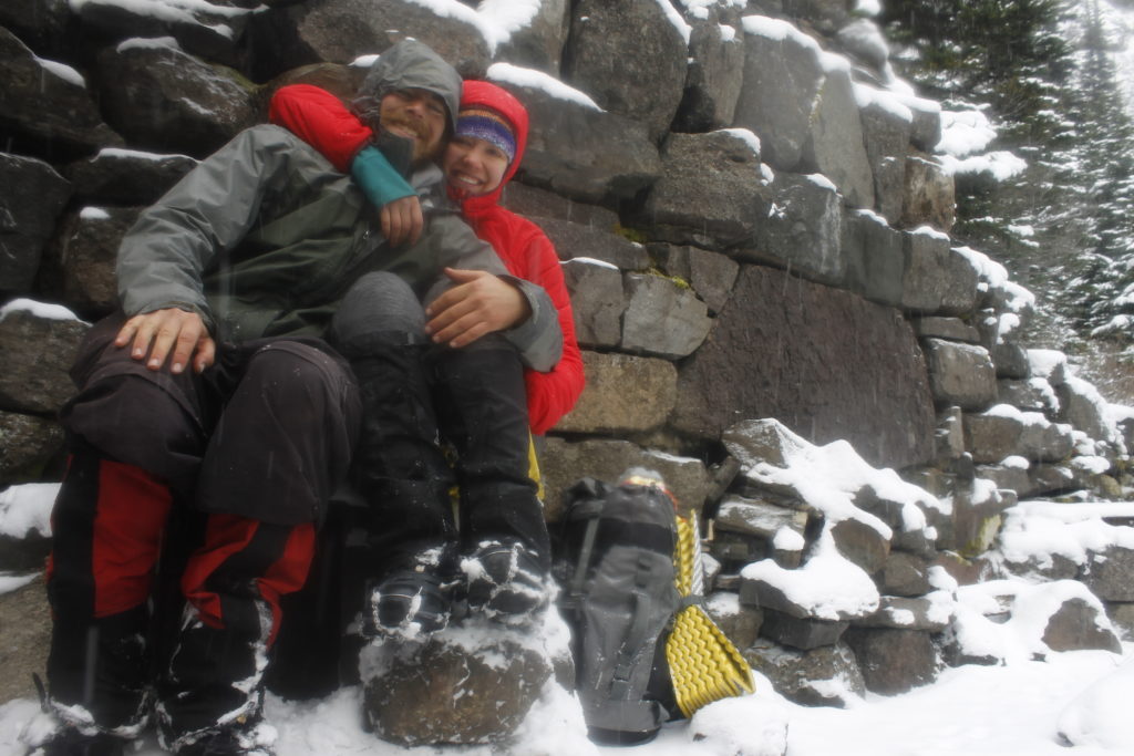
The scenery, Lauren said, was worth the brutal night. I breathed a sigh of relief. Not all of the gear had worked perfectly, but we had stayed in the game.

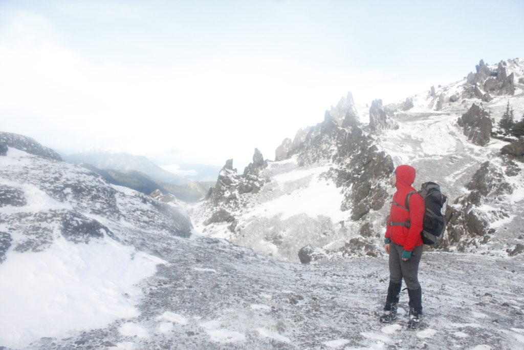
On high, the wind whipped like a banshee through the hills and the clouds raced above the jagged peaks at unnatural speed. We topped out at Heather Pass. There was an inhuman drama to the scene that appealed to me. I always remember how much I love mountains when I go up into them.

_mg_1207
Another view above Heather Park
_mg_1239
After the freezing night, I’m glad Lauren was in high spirits, didn’t try to throw me off the mountain.

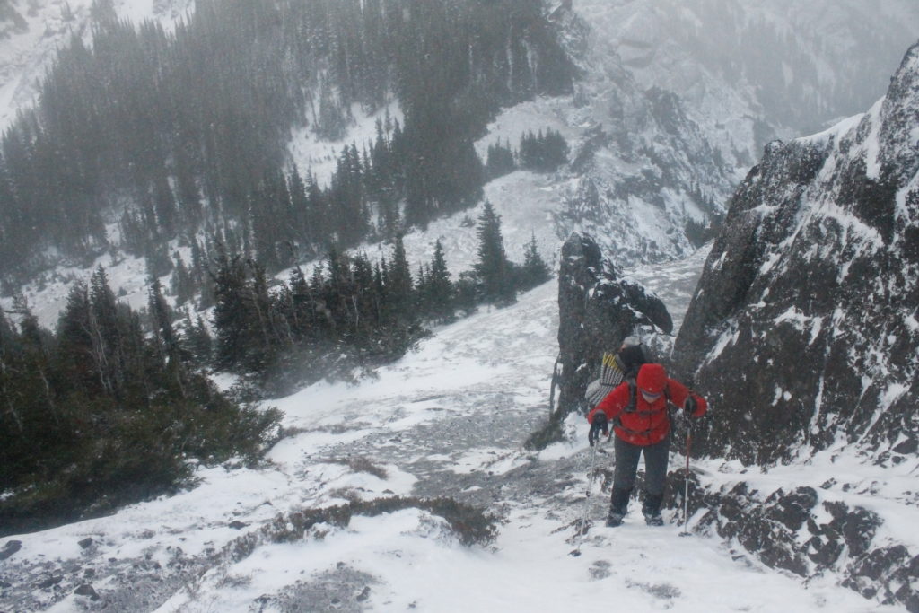
Before we went down to the lower elevations, we went up onto a higher ridge. I went ahead for the top, grabbing holds in the rock with the tips of my axes and pulling myself up. The effort rewarded me with a view of Port Angeles and the little toy boats moored in the harbor.

The ridge had something else: goat prints in the snow. Sometimes I followed in their tracks because they beat their way through the thickest brush. I had to hand it to them, thriving up in this freezing country without the sleeping bags, stoves, ice axes or tarps we humans were compelled to bring. If I had seen any of the rugged creatures roaming around, I might have asked how they pulled it off.

Alas, the hoof prints were the only sign. They kept themselves, and their secrets, hidden.

_mg_1232

  • Regarding mountain goat removal plans: I heard about the proposal from the ranger station, and wanted to do more research.The information I found online was sketchy, but there is a document here, that suggests a plan to get the goats out of the Olympic Mountains.https://parkplanning.nps.gov/projectHome.cfm?projectId=49246

The Tides Beneath The Mountains: Three Days on The Hood Canal

unnamed-4
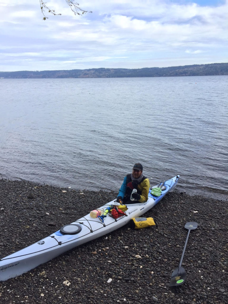
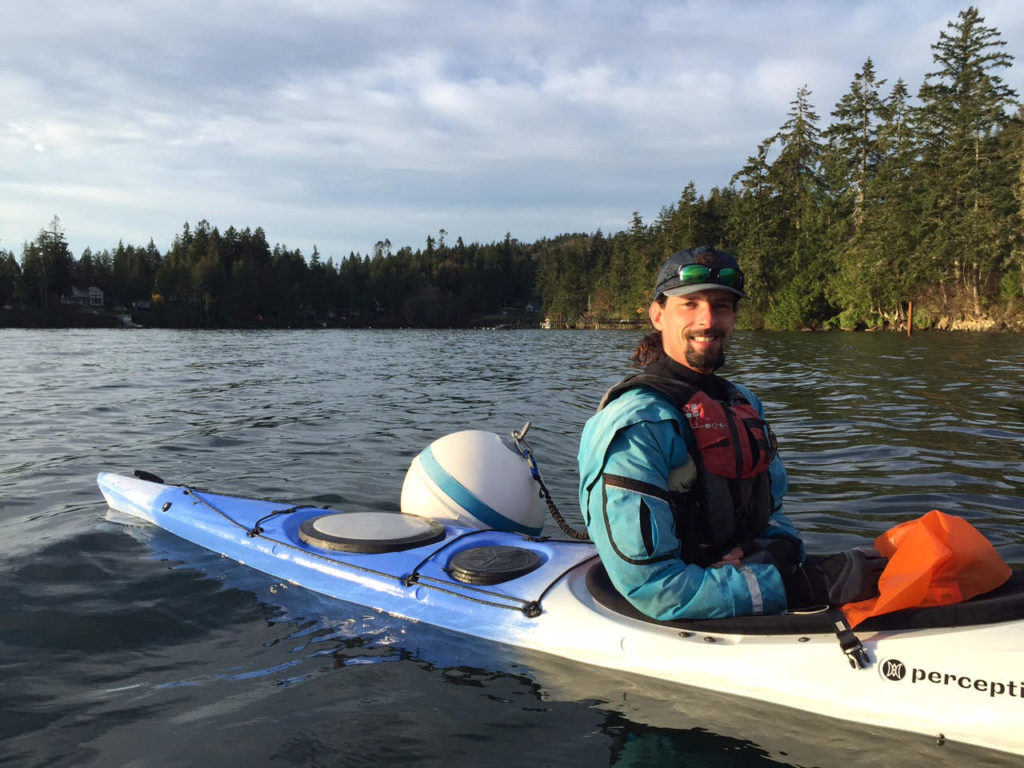
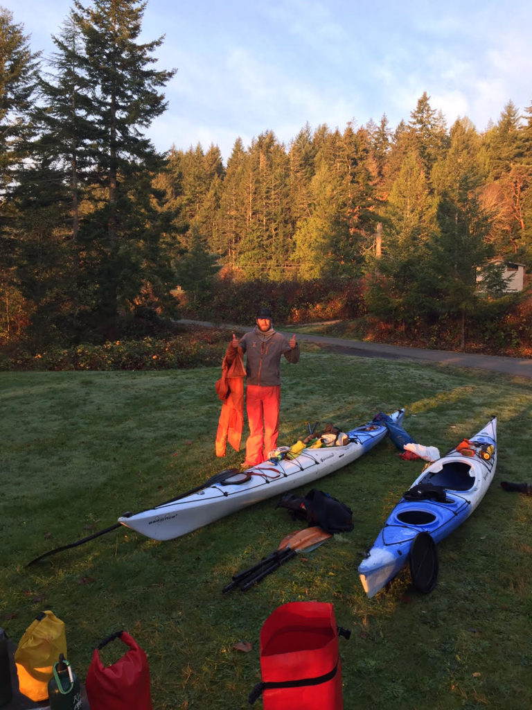
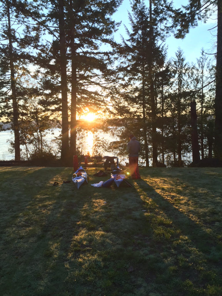
Paddling the Hood Canal. Photos by Jarrett Swan.

Launch

It was still dark outside when my friend Jarrett and I lifted two heavily-loaded kayaks onto the kayak rack had just built onto the roof of his weathered white pickup.

We had cinched the boats down tight with cam-straps and shaken them vigorously in their place to make sure they were immobile. We drove past the streets of Port Angeles under heavy rain. It was the kind of weather that doesn’t exactly make one eager for three days of exposed paddling, followed by nights cramped nights in a tent, where a few cups of moisture could mean the difference between comfort and misery.

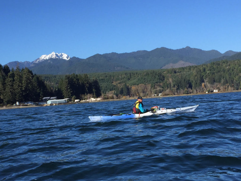
Over those three days, we would paddle north for almost 60 miles of the Hood Canal, a salt water arm of Puget Sound.

November paddling. In a rainy part of the country.

We had packed for the wet, but knew that damp and cold were talented at evading the defenses we put up for them. We had gathered drysuits, windbreakers, miscellaneous and sundry camping items. We stuffed the gear into the narrow dry bags we would need to fit them in our kayaks. There were pounds of food that we’d use to keep our caloric furnaces in order.

Now they were very heavy kayaks that threatened to crush us when we lifted them.

We moved slow that morning stockpiling heat from cups of coffee. Killing time comes very naturally when you have reservations about starting a trip.

I drove behind the truck in my Civic, street lamps and neon flashing back at me from the rain-slick pavement. Gradually, the gray illumination spilled out of the east. It was a soggy cardboard sky. A scraggly remainder of ochre leaves rattled on skeletal roadside trees.

As the wind picked up, Jarrett stopped so that we could get reinforce the kayak straps. The wind whipped at the trees as we went about lashing down the boats. It felt like gale force conditions.

“Are you sure we should be paddling out in this kind of weather?” Jarrett asked.

I considered. The conditions did look perilous, but we were still close to a hundred miles away from the boat launch where it might be a different story. Having spent a whole day planning and packing, the idea of turning back left a bad taste in my mouth.

We pressed on, and in another forty minutes or so, we came to the takeout point at Quilcene Bay where there was the same strong, southerly wind that we’d encountered when we’d  stopped to fix the boats. Mean whitecaps were curling over the agitated water. The good news was that they were going in the direction we would be traveling. I parked my car and got in the truck with Jarrett. Hopefully, we would be back in this place in three days at the end of a successful journey.

Ice age glaciers up to 3,500 feet deep, carved out the complicated network of channels and islands west of Seattl, including the Strait of Juan de Fuca, Puget Sound and Hood Canal, which makes up Puget Sound’s westernmost arm with the Olympic Mountains rising up on the other side. If the glacier had carved a couple more miles to the east, it would have joined the Sound and turned the Kitsap Penninsula into an island we could boat around.

The Canal channels both wind and tides. Jarrett and I expected to make our best time paddling in the mornings when the tides were going out and the current was with us. The Canal also has a strong tendency for southerly winds however, and this was also in our favor.

unnamed
Setting off at the end of the canal near Belfair State Park

When we got to the Belfair State Park at the end of the canal, the high tide spared us the effort of carrying our boats out onto mudflats.

Next to us was Big Mission Creek, which came in running swift from the heavy rains. October had been a record month for much of Western Washington. In nearby Olympia, there had been 12.4 inches of rain, compared to the average of 4.6 inches for that month.* 

I watched a dark form thrash in the current, dorsal fin skittering above the water. It was trying to go upstream, but the current was too much. I saw the salmon fight its way higher where the water moved fast over loose gravel, then it gave up and let the current take it back down toward the salt water. Perhaps it would find another route. As I gazed around the pool, I saw other salmon sitting in the water, fighting the current now and then. None of them seemed to have much luck. A few scattered carcasses lay beached on the rocks. Hopefully, they had spawned already, but I wondered if the unusually high current had prevented them from getting where they needed to.

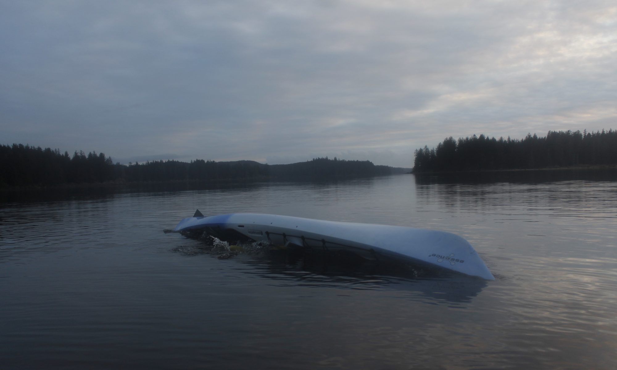
Our kayak journey looked like it would be less perilous then what the salmon had to deal with. The winds had miraculously stilled and the start of the Hood Canal looked glassy. The rains had diminished, although heavy clouds to the west promised more to come. The main challenge was hauling the heavily-loaded boats to the water. Then we had about 15 miles ahead of us to Potlatch Campground where we would stop for the night.

This section of the canal was just over a mile wide. We would be heading west all day, until we reached our campground at The Great Bend, where the Skokomish River comes in. There, the canal goes north and whither would go the kayakers.

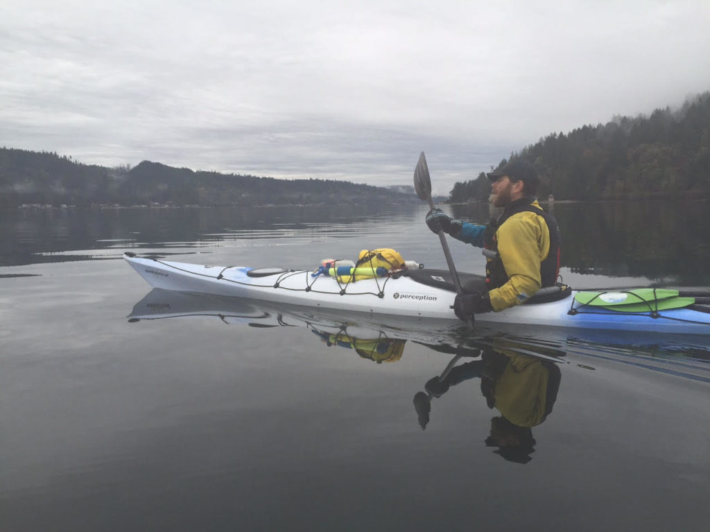
The loaded boats handled differently in the water from what we were used to; they were slower and more reluctant to turn. Jarrett found his boat had a tendency to drift to the left for some reason and had to paddle harder on that side.

I was grateful for the skeg, basically a fin that drops down, which made the boat easier to stay on course. If I wanted to grab a water bottle off my deck or mess with some equipment, I could paddle hard for a second and then let myself drift, so that I was still making progress, even when I wasn’t paddling.

The outgoing tide, gave more oomph to out paddle strokes.

When we paddled hard, we got warm. The fleeces we wore under our drysuits were definitely overkill. If we broke a sweat, it would mean dealing with moist, clammy clothes, likely for the rest of the trip.

The water was a tannic brown like well-steeped tea, very different from the clear, cold water I was used to guiding on the Strait not far away. Neither were there the large clumps of bull kelp of Pacific giant kelp that flourish in that rougher, rockier water. In shallow spots, I could look down at the sand, and see the white blobs of oysters growing there, another critter that I don’t see when I paddle on the Strait.

Various diving birds populated the water surface, including merganser ducks, murres and grebes the size of geese

“Hey check it out, in that tree!” Jarrett shouted. There were two bald eagles watching us.

When we took a break at a state park, all the heat we had been saving up seemed to disappear. I threw on my balaclava for extra warmth, and we paced around eating sandwiches in the drizzle.

It was good to get moving again and get the warmth back. Soon I was dipping my hat in the water to cool off and was grateful when it started pouring.

Now and then, a small black head would pop out of the water and a harbor seal would regard us with curious eyes.

We made one more stop at the town of Union, before we crossed the large bay at the mouth of the Skokomish River, which is none for a massive salmon run. Though, we didn’t explore the river mouth itself, we likely would have encountered droves of salmon, and the nets that the Skokomish Tribe sets up to catch them.

The veil of clouds began to break in the west, revealing the jagged faces of the Olympic Mountains. Mighty snowfields looked down at us from the high ridges.

As if to herald this vision, the mournful cry of loons called out from in front of us, seemed to embody the essence of that powerful place.

Croaking Salmon

unnamed-2
Jarrett in hardcore rain gear

The Potlatch Campground was in the midst of a construction project, which meant that it took a moment to find the proper place to set up shelter.

It is worth mentioning that the we camped both nights of our trip on places made possible by the Washington Water Trails Association, which laid out the Cascadia Marine Trail from southern Puget Sound up to Canada and with a connector into Hood Canal. If there had been more time, the paddler-specific campsites along this trail would have given us many options for camping and adventuring in the region.

A small stream flowed through a human-dug drainage nearby. Dozens of flopping, struggling salmon thrashed there way over the shallow water. Several of the fish were stopped at one of the many logs lying in the ditch. Others were almost completely out of the water. lying seemingly dead, and then bursting into a frenzy of flapping effort that gained them an inch or two of progress, if any. I watched their beaked mouths, monstrous, opening and closing as if trying to take in the air they couldn’t breathe. Their sides looked bruised, even actively bleeding from the  effort of going upstream.

I walked further and further up the ditch, only to find more and more salmon that had somehow flopped their way up. Were they spawning successfully? Or was the drainage ditch only a cruel trick that led them to their doom? Of course all of the salmon would die, whether they reproduced or not. Same is true of humans, I suppose.

Bearing witness to the Amazing Cycle of Life was not getting our camp set up any faster. I helped Jarrett rig up the rainfly that we would sleep under and got to work cooking dinner beneath the handy pavilion nearby. It was nice having a dry place to eat when the rain started falling again.

There was no break in the precipitation that night. The staccato drops made a constant din on the outside of the rainfly. Thankfully, the soil where we had set up was loose and drained easily. We didn’t have to worry about it puddling up on us.

I had a couple of damp clothes items in my sleeping bag with me to dry them out for the morning, though this made sleeping far less pleasant.

“I hate sleeping in damp bags,” I muttered.

“Really? I’m completely dry in here,” Jarrett said, thwarting my attempt to give my misery some company.

Every now and then I heard splashing from the salmon in the ditch. There was also a low croaking sound from the same direction. I pictured those beaked mouths that I had seen in the stream earlier, opening and closing, opening and closing.

“The salmon are coming out of the water to eat us,” I announced.

When morning came, there was a dim glow on the horizon, and the sky appeared cloudless.

“Man! How about those salmon croaking last night?” Jarrett said.

“Oh yeah. That’s so weird. I had no idea they did that.”

I tried to make the sound.

“Eyeaghhhhh!”

“Aaaaggghhh!” Jarrett said.

“That’s going to be the rallying call for this trip,” I said. “You know, when the going gets tough. We’ve got to think like these salmon. Eyaaaggghhhh!”

We ate a bunch of oatmeal mixed with coconut butter as a pick me up.

As the sun rose, we set up gear to dry.

A couple of state employees came over to the stream to monitor the salmon. We found out that the state had dug the ditch for the salmon, who hadn’t been able to use the stream before.

Though the fish didn’t seem like they were having much luck to my untrained eye, apparently they had been getting far upstream, and even when they didn’t, many still had  still found room to spawn successfully. After the spawn had grown up in the ocean, they too would return to this place.

“We could hear them flopping around last night, even croaking,” Jarrett said.

The workers seemed surprised to hear salmon that salmon croaked, but we told them all about it.

So far, the stream mitigation work had been successful enough that members of the Skokomish Tribe had set up nets near the mouth of the stream. It was also a popular spot for seals, which had a taste for the fish. A group of seals were on a raft nearby, lounging in the sun. It was only after the workers left that we heard the seals start talking to each other.

“Eyaghhh!”

“Uhnnn!”

It looked like we had mistaken the sounds of the seals on the raft for salmon in the stream. Rookie mistake.

The Close Encounter

unnamed-8
Beach time

Drying clothes and talking gave us a late start onto the water. We aimed far out into the canal to take the best advantage of the tidal current and a light southerly wind. Under the full sun,  we’d traded out the warm fleeces we’d worn the day before for thinner synthetic layers. Now we could see several of the Olympic Mountains in sunny relief, including The Brothers and Ellinor.

We were about a mile offshore when we decided to raft up and take a break. I was eating some peanuts when I heard a sharp exhale from the water next to us.

I almost choked.

A massive sea lion head was poking up looking at me. Maybe it was 20 feet away. The head popped back down. At a glance, the sea lion was easily over 500 pounds, though  maybe a lot more than that. Male Stellar sea  lions can push 2,500. They can get much heavier than that, to basically the size of grizzly bears. While they are not necessarily as ornery as grizzlies, I’ve heard these sea lions can be pushy, including accounts of them grabbing hold of divers’ fins. * I’ve had one of them swim alongside me for a couple minutes, snorting and merging closer  to the point that I slapped the water with my paddle to ward it off.

We floated for a while longer, and the head came up next to us again.

“Pffffft!”

The sea lion breathed out. It gazed at us with large dark eyes.

Was it pissed with us or was I just projecting? Did I want to know for sure?

The head went down again.

A few moments later, it popped up again.

“Pfffffft!”

“OK, I’m about ready to take off now,” I said.

unnamed-7
Jarrett at anchor, waiting up for the author

We made good progress on the way to our camp at Triton Cove, in large part because of the current moving with us. I avoided taking an onshore bathroom break by way of a challenging maneuver, leaning my boat with Jarrett grabbing onto back deck. If the waves had been tall, it probably would have been a no go, but it turned out to be more convenient than using a bottle or adding a mile and a half to the trip distance. Learning new skills is part of the reason for adventure if you ask me.

In the miles before camp, we enjoyed views of Glacier Peak and Mount Baker in the Cascades to the north of us.

We ended at a boat ramp where we unloaded our kayaks and then hauled them up to a grassy campsite. It was just after 3 p.m., but the sun was already low in the sky. We took advantage of the light that was left to set up a clothes line to dry some of the clothes and gear.

While the sun set, we heard the sound of seals croaking from the water nearby. It was still cool, even if we had mistaken the same sound for salmon earlier. Eventually, the western light faded and the stars began to glimmer. Illumination from the distant cities of Seattle and Tacoma blobbed over the east like a false sunrise. The night brought dew as well. I felt some clothes on the line, and realized that they were already getting damp. Should have caught that earlier.

I through everything inside our shelter, packed my drysuit away in a kayak hatch. At least, knowing that there was only one day to go, I didn’t have to be so worried about damp layers, provided I had a spare in reserve.

The Last Day

unnamed-5
Ready for the morning

The night saw plenty of moisture accumulate beneath the rainfly, despite our best efforts to ventilate. The clear skies had made the morning that much colder, and the motivation to get out of our sleeping bags that much harder to summon.

We were out of the tent by 6:45 and I walked by headlamp to a nearby stream where I filled up water to start breakfast. The sun rose with a fiery corridor reflected over the Hood Canal. Warmth began to find us. Still, we didn’t take the time to hang stuff up the way that we had the previous morning. We were hot to get moving.

By the time we’d eaten, taken down the shelter, organized gears loaded everything into the hatches, put on drysuits and hauled the boats to the water, it was nine o’clock. We had the favorable current and some tailwind. Once again, we took far out into the canal, where we could see snowy peaks towering above us to the west, and the even larger Mount Baker and Glacier Peak rising up in front of us.

Briefly, for a few minutes only, I caught sight of the Great Grand Daddy of the Cascades: Mount Ranier. It always appears dreamlike to me and I struggle to tell myself that the thousands of feet of snow and ice there are real things, part of the same reality below where there were trees, parking lots, wet sand.

unnamed-10
Sunrise kayak portrait

Things were getting more interesting on the water, as the clouds began to fill the sky and a tailwind began kicking up two-foot waves. I caught some great surf rides, using the skeg to keep on track.

We pulled onto a marshy spit where we replenished with food. Jarrett unpeeled the top of his drysuit to put a fleece on. I decided that even though it had gotten a little cooler, a balaclava would be sufficient to keep me toasty. Sure enough, after we started paddling, the sun came back out. Soon Jarrett was roasting with his warm layer on but with no quick way to change clothes. I flipped my balaclava down and commented on how wonderful I felt.

We went by the Dosewallips river drainage, where we saw two bald eagles and at least a dozen harbor seals. They were, no doubt, gorging on the migrating salmon. I felt a greater understanding for why so many Northwesterners, including native tribes, express such reverence for the fish, seeing firsthand how much depends upon their bounty.

We took a break in a nearby marsh so Jarrett could utilize the bounty of a convenience store in nearby Brinnon.  I entertained myself by exploring a nearby culvert, too low to paddle through unless I sunk deep inside my cockpit. I handed my way up along the ceiling to the other side of 101, where the marsh came up against some farmland. Going back out was more fun since I had the tidal current going with me and sped through the dark passage like a torpedo — banging up against walls occasionally.

Jarrett and I snacked in the full sun, watching the marsh birds flit to and fro. He decided to ditch the fleece he’d put on earlier for our last push to Quilcene. It was clear that we were making great time. The fact that the wind was picking up from the south was just another bonus.

We sped away from the marsh and then across the water to a large point. The waves gifted me with many a surf ride. The Hood Canal forked in front of us. To the east went out toward the Strait of Juan de Fuca and the San Juan Islands; West lay Dabob Bay and, off of that, Quilcene Bay where my car was parked.

Fourteen knot winds pushed us along at a fast clip, with more assistance from the waves. It wasn’t long before we pulled into the Quilcene Marina: the end of our ride. We paddled in so that our boats hit the ramp at the same time, bumped fists.

Compared to what the salmon were doing, we had had an easy time of it, moving with the elements instead of against. It was also easier than carrying the stuff that we’d brought out on our backs as we would have on a hiking trip, The hardest part was managing the gear rodeo so we kept our stuff dry. There had been no massive waves, nor punishing gales, but their had been time to chill, tp contemplate the beauty of the mountains, the beauty of the water and the uniqueness of some of the creatures that made this place their home,

“Great trip, Man,” Jarrett said.

“Great trip,” I agreed.

unnamed-9
Hood Canal at morning

Notes:

*http://www.usclimatedata.com/climate/olympia/washington/united-states/uswa0318/2016/10 and http://q13fox.com/2016/10/26/soggy-nw-on-verge-of-breaking-october-rainfall-records/

** http://www.marinemammalcenter.org/education/marine-mammal-information/pinnipeds/steller-sea-lion/


Amidst Bears and Glaciers: A Trip To The Olympic Mountains’ Seven-Lakes Basin and Hoh Rain Forest

_mg_0855
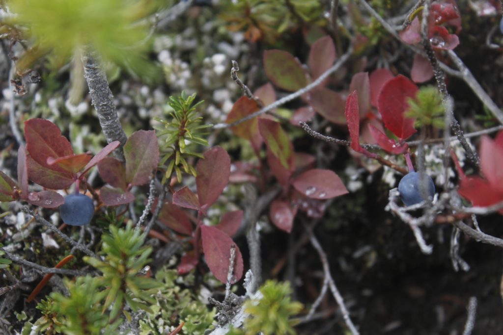
Huckleberries in the high alpine zone of the Olympic Mountains. Good bear food.

Sol Duc 

Deciding where to hike in the Olympic Mountains was no easy task for my friend Sean and I, partly because the area has so many faces.

When we researched the ideal two-night trip, we had our pick of wild beaches along the Pacific Coast, the lush rainforests of the western valleys or amidst the drier, but still massive forests in the rain shadow. Higher trails access alpine tundra, even glacier.

We knew that black bears are a very real presence, to the point that the Park Service require overnight hikers to carry their food in canisters or else use specialized cable hangs available at certain sites. That limits freedom a bit. The park is host to a heavy mountain lion population, which also grabs attention, even if there is only a slightly higher risk of an attack then, say, a Bigfoot sighting.

The more credible threat that I anticipated, was cold September rains, which would throw down the challenge of staying dry — at least warm — while we were hiking and camping.

I wanted us to avoid cold and misery, and enjoy the natural beauty of the Olympics. It would be time for both of us to unplug and recharge.

The trip was also a great chance to catch up with Sean. We go back to college, where we ran cross-country together. He lives in Brooklyn now, but has a passion for getting out, whether to the Catskills or the Adirondacks further north. We’ve done a couple of hikes together through the years, including a couple mountains in the Adirondacks and an icy visit to New Hampshire’s White Mountains this spring.

We chose a path that would show us many of the different zones within the park, including  the semi-rain forest of the Sol Duc valley, up to the 5,400-foot Bogachiel Peak, around Seven Lakes Basin, thence down to camp at Hoh Lake and into the Hoh Rain Forest and back the way we came. The plan would get us out of having to carry in a bulky bear canister, because the Hoh Lake campsite had cables where we could hang our food stuff. Even though Seven Lakes is a popular park spot, we had a good shot at enjoying solitude because we would be leaving midweek in September.

I put the tent in my backpack, and gave Sean the pleasure of carrying my cook stove, bulky pots and most of the food.

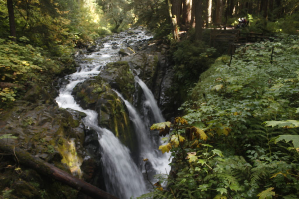
The sky above the trees was gray as we started along a smooth-packed trail beneath cedar, spruce and fir, their branches draped with the hair-like tendrils of goat’s beard lichen. The Sol Duc River ran through a black walled canyon to our south. Soon, we reached a bridge crossing above Sol Duc Falls, where the river course suddenly turned and dropped into a dark crevice.

Abundant moss grew in the falls mist, further up, spiky stands of devil’s club.

The trail began to climb from here along a series of switchbacks toward Deer Lake.

The cloudy skies had begun to drizzle, then to loose fat drops onto the trees above. Sean and I were protected for the moment, but if the rain continued, the drops would begin rolling off the branches, soaking us.

Neither of us were wearing our rain gear, and we were loath to put it on and start marinating in sweat. Given the mercurial nature of the weather in the northwest, it seemed likely that the rain would pass soon anyway. One day hiker that we passed simply held a trash bag over his head. Not a bad stopgap.

Alas, the rain continued falling, and we started getting wet as we went through clearings. Eventually, we caved and threw on our rain gear and pack covers. That, of course, brought the rain to a prompt halt.

_mg_0630
Sol Duc Falls

The Bears of Bogachiel

As we climbed above the Sol Duc river, Sean and I hashed out a plan for any encounter with Sasquatch Americanus,.

Say we were going around the bend and Bigfoot walked across the trail, should we tell anyone?

Sean was inclined not to on the basis that anyone we told our story to would think we were lying or nuts. Later we agreed that we would only come forward with a Sasquatch sighting if there we could get solid photographic evidence.

Photographing  Bigfoot might have been a tall order, but there were plenty of other opportunities to click the shutter as we climbed past Deer Lake onto an exposed ridge.

The trees became shorter and gnarled. A grand vista opened up to the north where we could see above the foothills across the hard blue water of the Strait of Juan de Fuca out to the mountains on Vancouver Island, British Columbia.

The rocks along the trail were angular, blasted by winter ice. Glacier-carved bowls opened up on either side. Wisps of cloud gathered below.

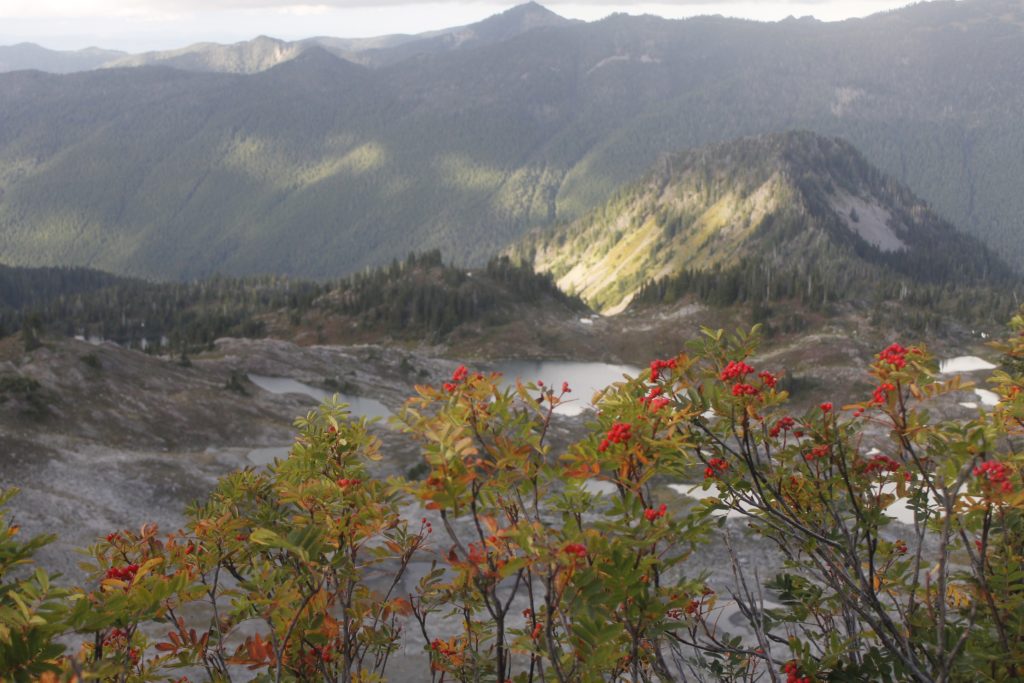
Further on, we could gaze down into the Seven Lakes Basin, a bare landscape of arctic scrub, sprinkled with water-filled depressions.

“That looks like more than seven lakes,” I remarked.

Sean observed that all of the lakes had fallen from their high-water marks. As the water levels fell, there were places where one lake had diminished into two smaller ones. It had been a dry summer on the Olympic Peninsula. At least we didn’t have to deal with the wildfires and smoke that plagued the park earlier this year.

_mg_0682
Seven Lakes Basin view with sumac in foreground, Sol Duc Valley in Background.

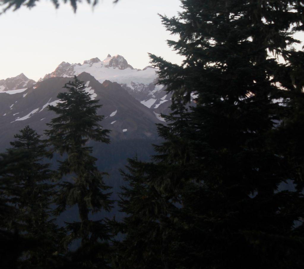
The ridge climbed a saddle where we could look south to the big mountains, including the jagged slopes of Mount Tom and Mount Olympus. Both were hidden in cloud, but occasionally a gap opened where we could peek at a snowfield or glacier.

We had less than a mile to hike down into our camp at Hoh Lake, but the nearby summit of Bogachiel Peak beckoned.

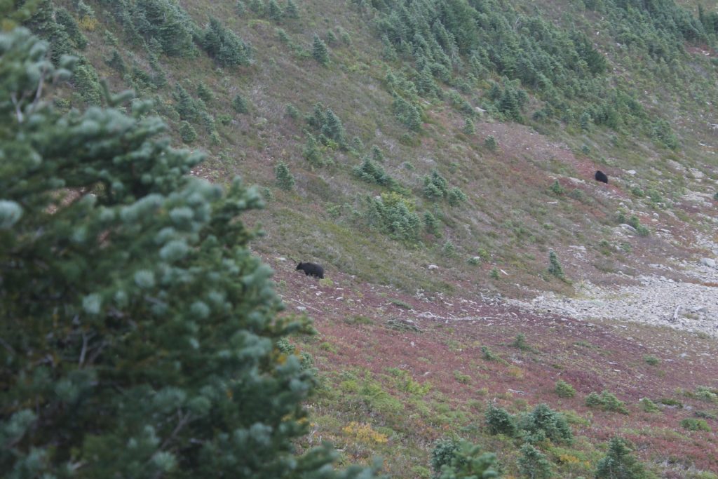
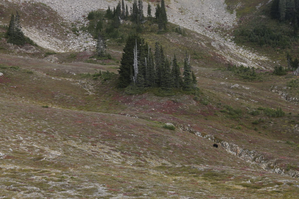
We took a side trail in that direction. The valley below us was filled with low-growing huckleberries with bright red leaves. One dark shape in that field caught my eye. I squinted at it for a moment, sure that it was some shadow cast by a dead tree or boulder. But the shape was moving.

“Hey! That’s a bear down there!”

Most of the bears I’ve seen in the wild have been pretty small, but I’m sure that this one was at least 250 pounds. It grazed slowly among the huckleberries like some bovine in the pasture. If it had noticed us, it didn’t care much.

We watched it for several minutes. Hardly a lumbering brute, the bear moved nimbly among the broken rock, keeping its head down in order to graze microscopic huckleberries out of the twigs and leaves. The black coat had a healthy shine. Elegance isn’t usually the word that pops into mind when I think of bears, but even this large specimen carried itself with refinement and dignity.

Seeing that the bear likely hadn’t noticed us, neither Sean or I bothered to make loud noises or tried to scare it off.  We went on along the trail to the top of the mountain.

The lakes and mountains surrounding us delineated a domain of harsh weather and limited resources— a place that played by the old, hard rules that undergird the upholstery of our day-to-day existence.

Soil on these mountain tops stretches thin as erosion constantly feeds it to the valleys below and nothing washes down to replenish it— yet this film of organic matter was enough to support acres of huckleberries and to provide a bounty to the bears.

When Sean and I walked back down the trail, there were two bears grazing. We stared again, and this time, one of them did look up, seeming to acknowledge us. The look wasn’t menacing, but it seemed wise to move on. If nothing else, I didn’t want to disrupt them.

A small blue nugget of bear scat lay in the trail further on. They must have been getting all or most of their calories from the huckleberries, which is impressive considering that the berries growing here were half the size of a pea at largest.


_mg_0699
Two bears going berry picking
_mg_0708
Sean going berry picking

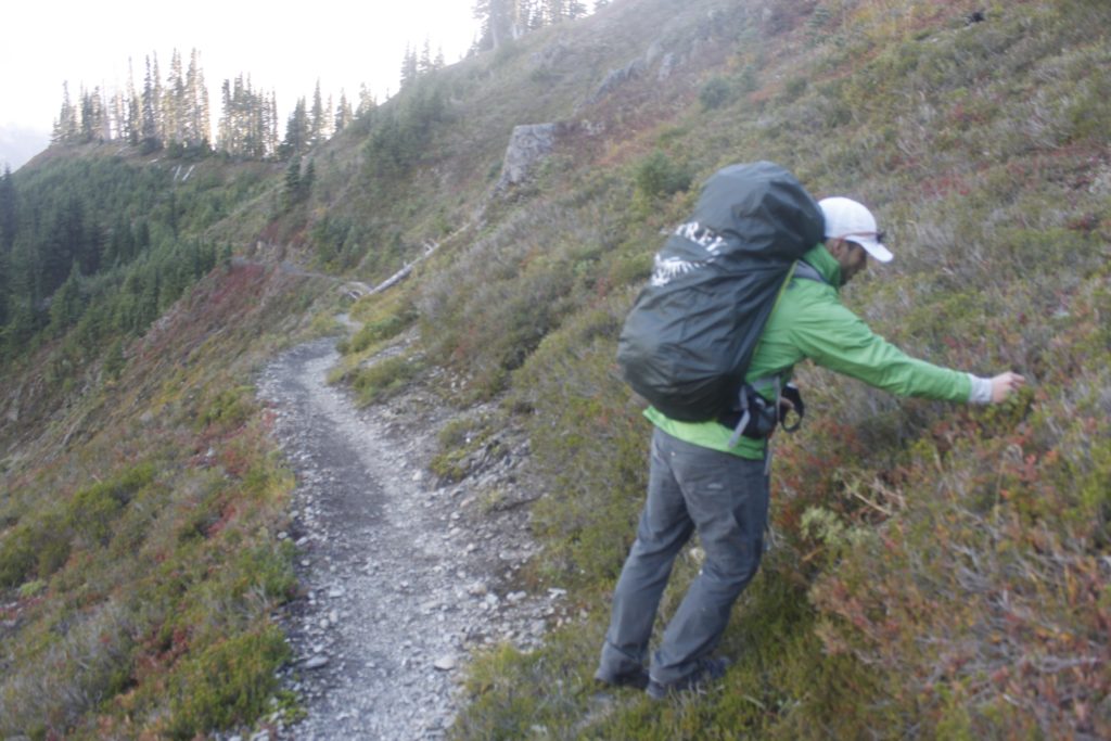
Sean and I picked a few of them as we went. They were tasty, but the picking was incredibly slow. I guessed that the bears would have to pretty much graze continuously at the berries to feed themselves. That was what they appeared to be doing.

The blue splats of bird droppings decorating the rocks along the trail indicated that bears were not the only ones who profited from the berries.

Further down the trail, Sean spotted another bear, also grazing below us. The camp area at Hoh Lake was not too much further. We felt very motivated to be careful with our food, considering that there were bears nearby who were hungry enough to forage for hours in the huckleberries, They could get the calories they needed in minutes from one ambush into our supplies.

Sure enough, Sean saw one bear grazing on the hillside above Hoh lake, only about a quarter mile from where we’d pitched tent.

We turned in early while we still had the warmth of dinner in our bellies. I hoped we would wake up warm and ready to take on whatever the next day had in store.

_mg_0718
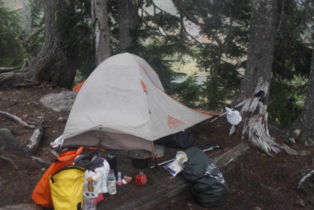
Camp

Descent to the Hoh

Cold and mist were in store.

Soon after we awoke, Sean went out to pick some huckleberries to make morning oatmeal more interesting,

We finished our meal by slugging down morning coffee for Sean and some black tea for myself, then we were on the trail to the Hoh rainforest. We left the tent, gear and extra food at at camp (the latter hung up on the bear cable) so that we could move along with lighter loads.

The path dropped past mossy waterfalls, into groves of cedar. Unlike the wide trails we had hiked the day before, this route seemed infrequently traveled, with soaking vegetation closing in on either side of us. Sodden branches bounced harmlessly off of our rain jackets, but my lower half was drenched in short order. One hiker coming up from the other direction wore a makeshift plastic skirt. Excellent idea.

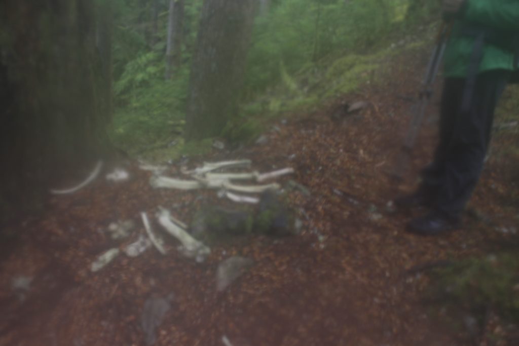
Further down the trail, we found a pile of bones beneath a cedar tree. The massive femurs could have only belonged to an elk. But what had killed it?

Sean speculated that it was a mountain lion. If one of those big cats was about, I definitely wanted my camera at the ready — only now, I discovered that despite my best efforts to protect it, moisture had gotten in and fogged the lens housing.

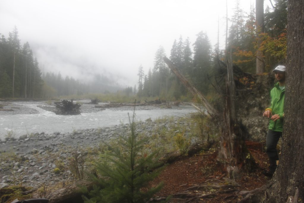
By the time we met the Hoh River Trail at the bottom of the switchbacks, some six miles below camp, it was already getting later in the day, and it was clear that we would only have a couple of hours to explore.

_mg_0798
Stream crossing
_mg_0737
The bone pile

But the wonder of the Hoh Rainforest was worth even a brief visit. In contrast to the tundra we had seen earlier, life ran rampant here. Massive conifers towered over with their  lower branches draped in goat’s beard. Thick moss ran up and down the trunks of maple trees.  Gigantic fallen logs supported ecosystems of sword fern moss and smaller plants growing out of them.

The environment had that fairy tale feeling to it, so much so that  I almost expected to run across some Keebler elves out gathering mushrooms.

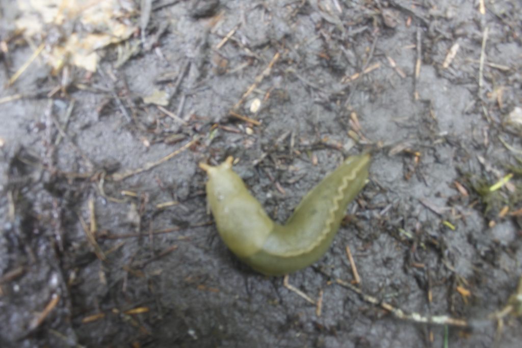
Elves we did not find, but sometimes we would stop and gawk at one of the enormous banana slugs or the black slugs that crawled onto the path.

The moist air was warm, almost sultry, compared to the exposed heights where we had hiked earlier. A whopping 141 to 165 inches of rain fall in this rainforest.*

We took breaks to explore an incongruous meadow, then did lunch at an overlook above the Hoh River, which was low and milky-white with sediment.

Much of the river originates from glacial melt off Mount Olympus. If we were going to see any of this mountainous splendor, it wouldn’t be from here. A low cloud base above the forest prevented us from seeing much above the tree tops.

The climb back up was a long one, but fortunately, passing hikers had knocked most of the moisture off the branches along the trail and we didn’t get so wet as when we started.

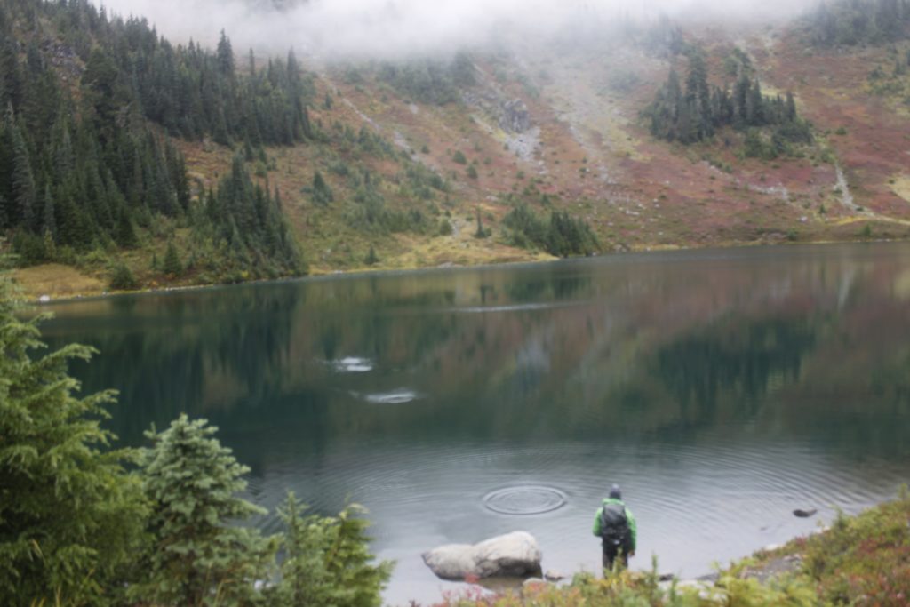
We stopped back at Hoh Lake to skip some rocks. There were no bears that we could see, but there was an occasional fish jump.

When I went up to the bear cable to bring the food down, the clouds broke and afforded me a view of the glaciers of Mount Tom and Mount Olympus. Miles of ice sat in the depressions between jagged crags.

I called Sean up and we watched the mountains. Even though Olympus is not quite 8,000 feet tall, the sharp profile of the mountains could have passed them off as giants of the American Rockies. The fact that there were huge glaciers helped too. In fact, we were looking at the third largest glacial system in the continental U.S. ** Altitude isn’t everything, especially when considering the 50 to 70 feet  of snow that Olympus receives every year. Constant cloud cover protects the snowfields from the heat of the sun. Unfortunately, like most other glaciers in the world, the glaciers around Olympus have been in retreat. ***

As the sun sank toward the western horizon, the glaciers glowed in the pinkish light. Many hikers never get to see Olympus because it is so often in the clouds. I was glad that we had this chance.

_mg_0783
Slug specimen
_mg_0761
Sean at the Hoh River
_mg_0817
Skipping rocks at Hoh Lake
_mg_0841
View of Olympus from our campsite

More Bears and Mountain Views.

Early the next morning we hiked out of camp with after a light oatmeal breakfast. We had cut things a little fine with our food planning, so most of our lunch calories were going to come from bars and gel.

The morning chill left us as we climbed back up toward Bogachiel and the sun began to emerge.

Going past the plains of blueberries, we saw two black bears. One was on the trail, the other below. They were about the same size as the bears we had seemed earlier, and it seemed likely that they were the same ones.

We decided to wait a few minutes to see if the bear on the trail would move. When it didn’t, we started shouting, and the bear moved, slowly, up the hill.

We decided to add some miles to our total going back by following the High Divide trail the rest of the way around the Seven Lakes Basin, before descending back to the Sol Duc river. This route turned out to be an excellent choice because we were lucky enough to have more clear weather. We had superb views of Mount Olympus and some of the other nearby Olympic peaks.

As we walked further east, we got a better look at the Blue Glacier. Deep cracks within the ice revealed where it got the name, displaying that sublime turquoise tint you might recognize  from photographs of arctic icebergs. Further down, the glacier formed a long tongue through the mountain valley.

Tragically, my lens was fogged for much of the morning, and I didn’t get any good shots of the mountains from this angle.

The warm sun and clear skies lent itself to more huckleberry picking, so Sean and I stopped frequently to load up.

We saw  two more bears on distant hillsides, enjoying the same snack. That brought the number of unique bear sightings up to at least six for our trip — doubling the number of bear sightings that either of us had seen in our lifetimes. But who’s counting?

The trail took us down along the Sol Duc, offering plenty of opportunities to enjoy the sight of waterfalls in the mossy canyon.

We were no longer contemplating the natural beauty in solitude however. Several groups of hikers coming up the trail the other way to get to the campsites they had reserved for the weekend. It would be a lot busier on the ridges on the days to come. I was glad that we had seen everything when we did.

As for an encounter with Sasquatch? He stumbled out of the woods to give me a high-five — right after my camera battery died.

_mg_0854
Parting bear shot

*http://www.summitpost.org/mount-olympus/150427

**http://www.summitpost.org/olympic-range-wa/171068

***https://www.nps.gov/olym/learn/nature/glaciers.htm